Bradley Creek/Yellow Gap Trail
Bradley Creek Trail runs 5.1 miles from Turkey Pen trailhead to Yellow Gap road. This trip report covers the northern 1.7 miles of this trail.
For a trip report of the southern 3.4 miles of this trail, see the Bradley Creek/Laurel Creek Trail report.
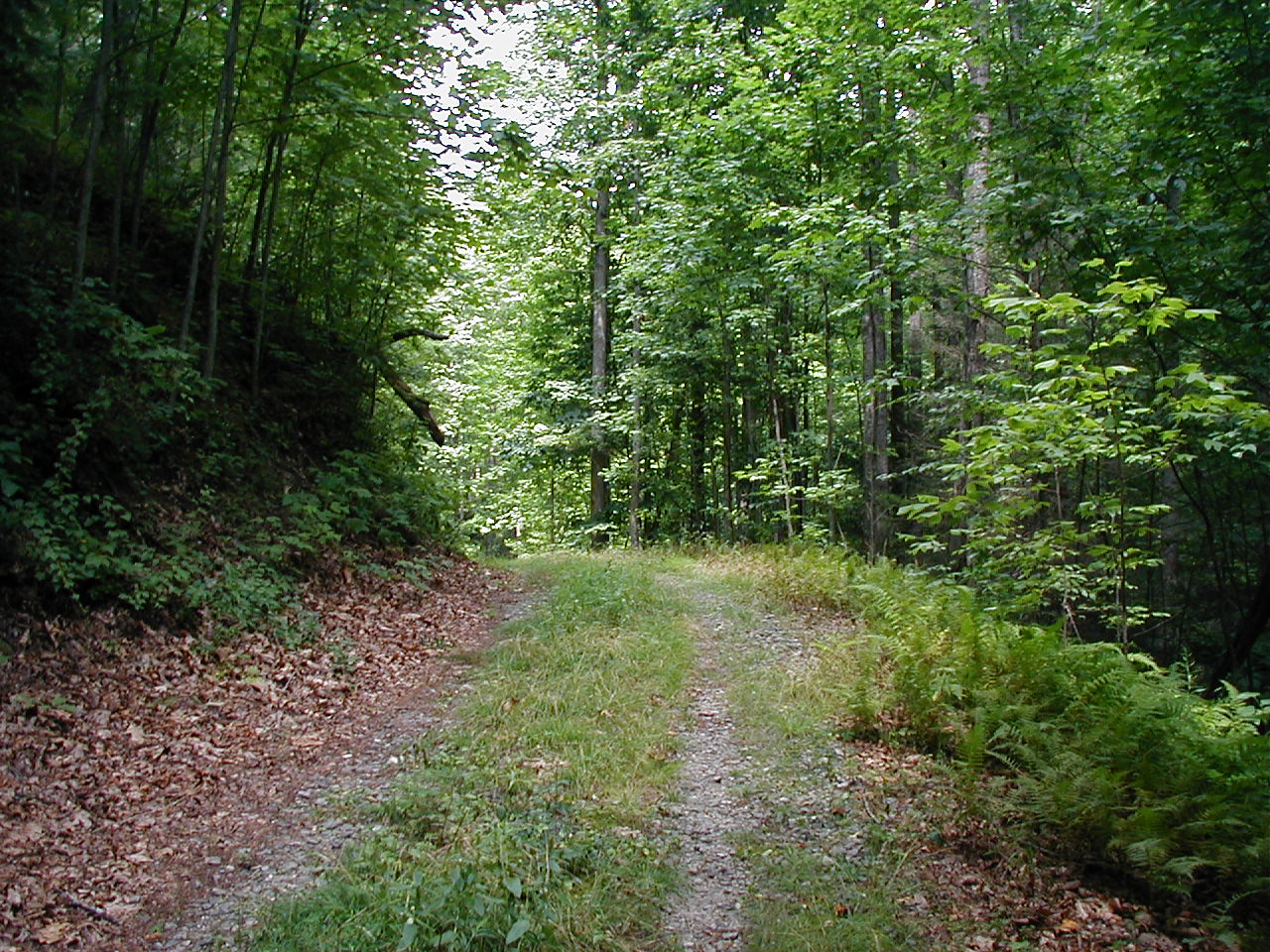 |
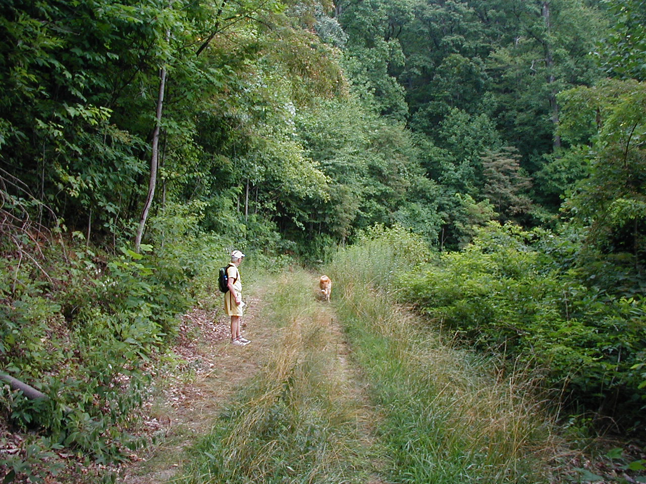
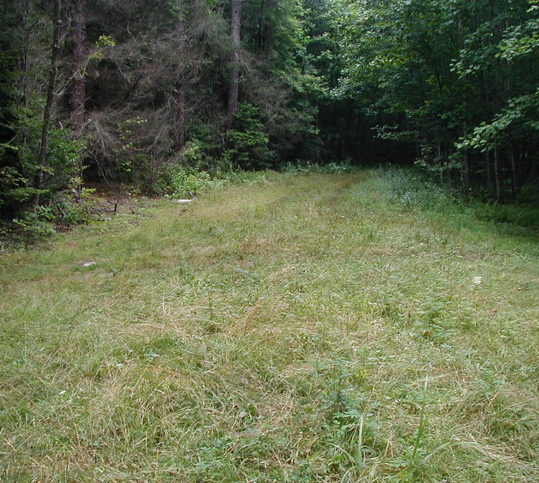
This seven mile hike's first 3.9 miles travel along a gated, somewhat overgrown 4-wheeled drive road. |
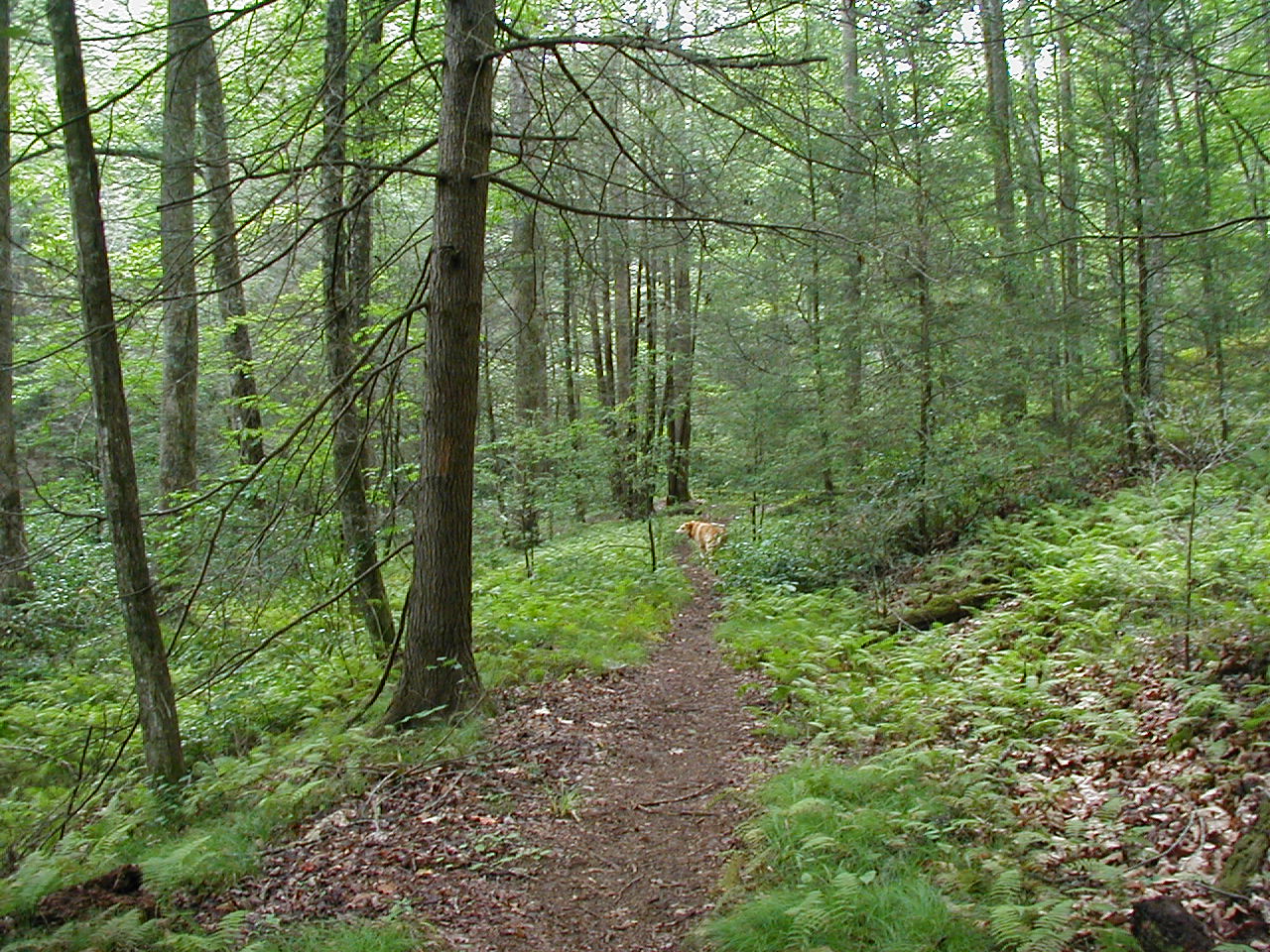
The next 1.9 miles are single track trail, following along, and frequently crossing, Bradley Creek. The hike ends with 1.5 mile walk |
 |
Click any of the thumbnail pictures for a full size image
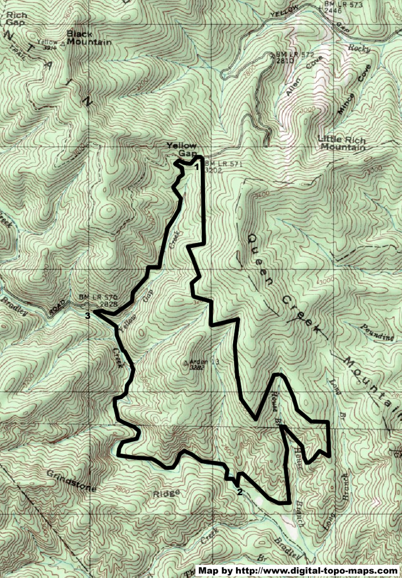
Click on map to see full size
One thing to keep in mind on this hike .... your feet ARE going to get wet. Very wet! I lost count of the number of creek crossings, but I'd estimate there were a dozen or so. The most recent time I did this hike was this summer of 2008. Drought conditions. Discussion of mandatory water conservation. And a creek deep enough that you will NOT be able to rock-hop across it!!
Having said that, it makes for a great hike on a hot summer day, and after I realized there was no way I was going to keep my feet dry (about half way across the SECOND creek crossing!), I enjoyed the water play with each subsequent crossing.
To begin, park on Yellow Gap road, at the gap itself, which is the highest point on Yellow Gap Road. This road is a gravel road which runs from North Mills River campground to highway 276, just north of the Pink Beds.
To get to this trail head, travel 3.3 miles west of North Mills River campground along Yellow Gap Road. Once you have gone around several hairpin curves, you'll reach the road's peak, and the gated Forest Service road 5015 will be on your left. Park here. (See map, at location #1)
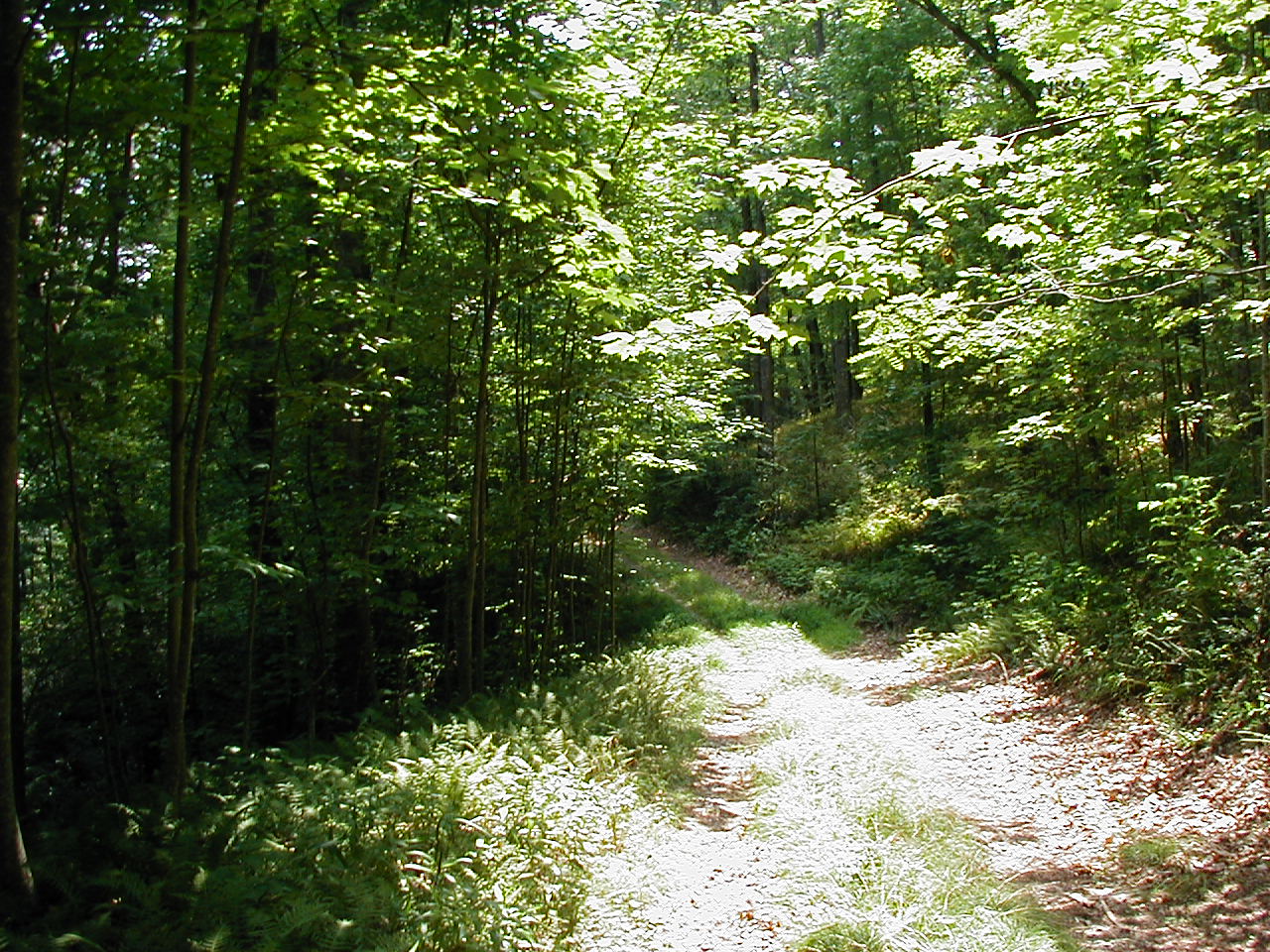
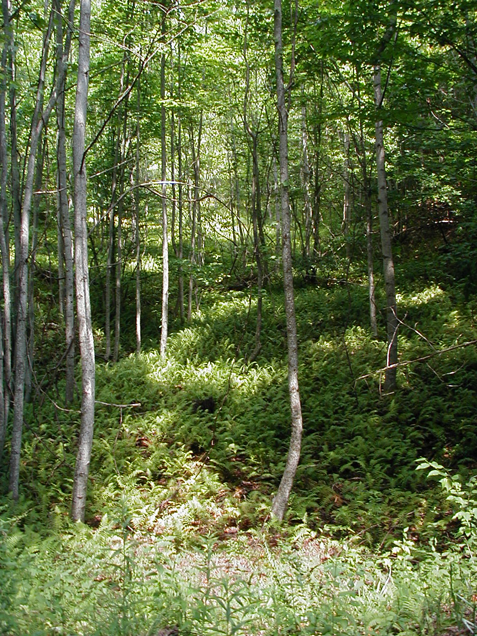
Forest Service road 5015 begins its gradual descent to the creek valley, descending down the west-facing side of Queen Creek Mountain. One periodically catches glimpses of the ridge lines across the creek's valley. When I have done this hike in wetter years, there were many areas with water dripping down rock facades that you pass. The dry summer of 2008 had only a handful of such water locations.
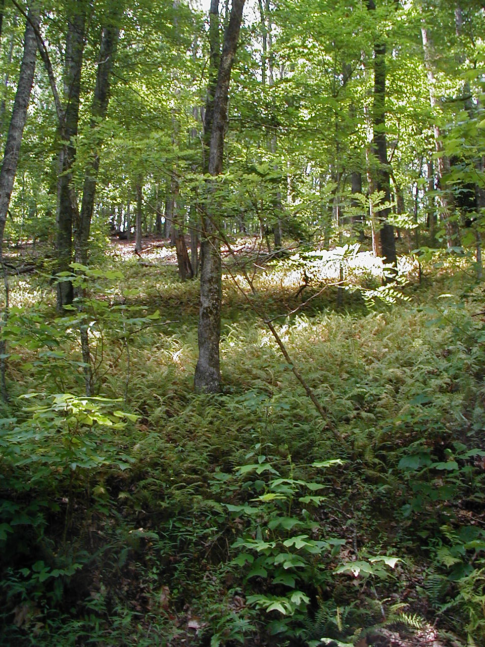
As one gets near the creek's valley, the land around you begins opening up into wider swaths of land, with several "fern valleys" to be found.
After 3.9 miles of gradual descent (dropping approximately 700 feet in elevation), you reach the well marked Bradley Creek Trail. (See map, at location #2)

Looking North
Bradley Creek Trail heads both north (to the right) and south (to the left) at this intersection. Heading south will take you to the Turkey Pen trail head in 3.6 miles.
Looking South
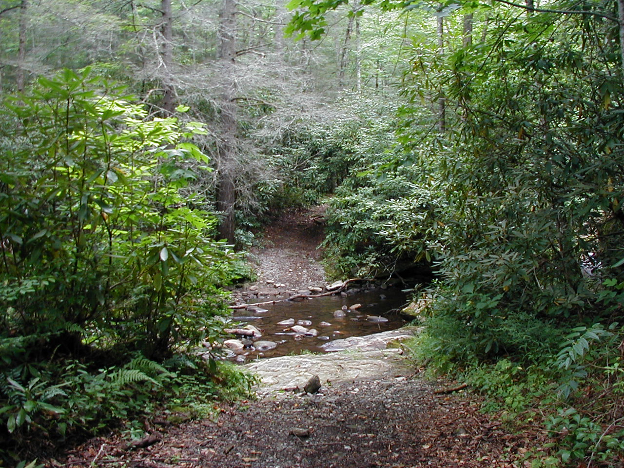
To continue with this Yellow Gap loop, turn right, heading north. You'll quickly reach the first of your many-to-come stream crossings.
I attempted this loop one year, heading out after a stormy night the evening before, and arrived at this first creek only to find it too wide and running too fast to safely cross! So plan your hike accordingly. The day after a big storm may NOT be the best time to do this hike.
The 1.9 miles along Bradley Creek Trail crisscrosses Bradley Creek numerous times. The trail is well worn and easy to follow. It is used by both mountain bikers and equestrians, in addition to hikers. The 3 times I've hiked this trail however, I have not run into any other folks.
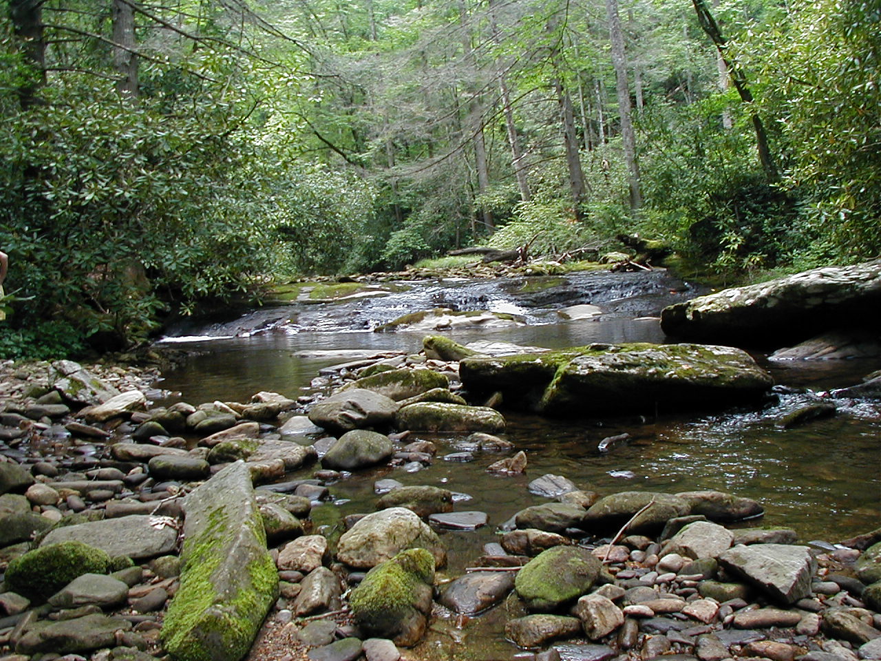
This picture is looking upstream from the very first creek crossing.
As the trail heads north to Yellow Gap Road, it alternates between following the creek and climbing well above the creek, giving you some nice views down a steep hillside to the creek's valley.
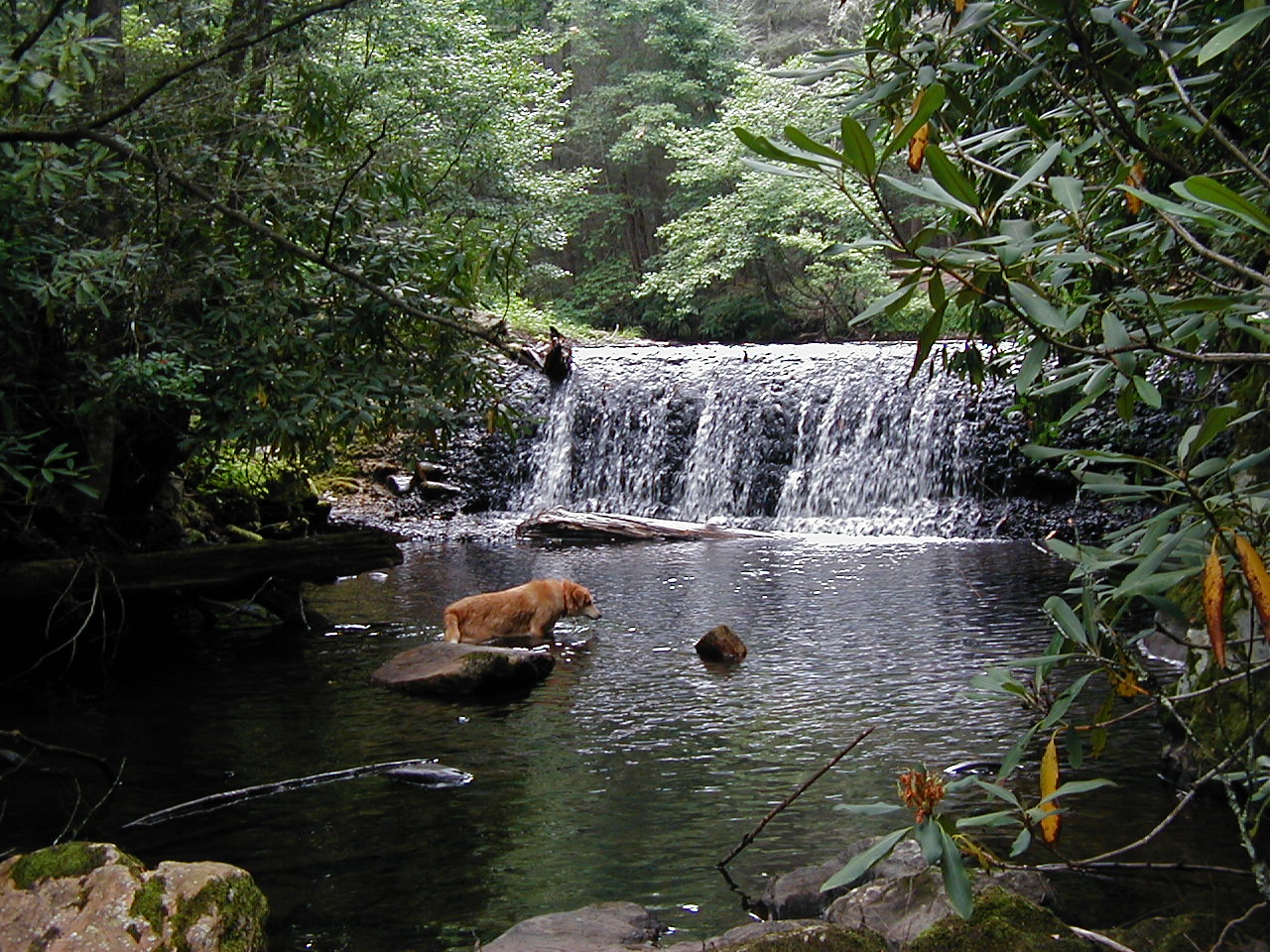
Very close to the end of the trail is a great swimming hole, coming a good 3-plus hours into the hike. A very welcome rest spot!
Bradley Creek trail climbs 300-400 feet in elevation from its intersection at the bottom of Forest Service road 5015, eventually coming out onto Yellow Gap Road. (See map, at location #3). Just before you come to the road, there is a well worn trail that heads straight up a steep hillside to your right. This short cut brings you out to the road a good bit up from the "official" entry point, saving you a little bit of road walking.
The final portion of this hike is along Yellow Gap Road. Once you come out on the road, turn east (right). You have another 1.5 miles back to the parking area, all of it uphill, gaining another 400 feet.