Hike to
Little Hump
and
Big Hump
from Roaring Creek Trailhead
Click on any of the images on this page
for full size/full resolution pic.
This is probably one of THE best hikes for long range views that you can find!! On a clear day, you'll find yourself "ooh-ing and aah-ing" all along this route. You'll get views into both North Carolina, as well as Tennessee, both of which have a bunch of forested, nestled valleys all along multiple hillsides. You get distance views of the western portion of Roan Mountain: Grassy Ridge, Jane Bald, and Roan High Knob. You also get long range views into the western Virginia mountains, as well as great views of Grandfather Mountain, Table Rock, and Hawk's Bill near Linville Gorge.
This is a 9.2 mile, out and back hike, with 1400 feet of elevation gain. You follow Overmountain Trail for a short distance up to Yellow Gap, and then follow the Appalachian Trail the rest of the way.
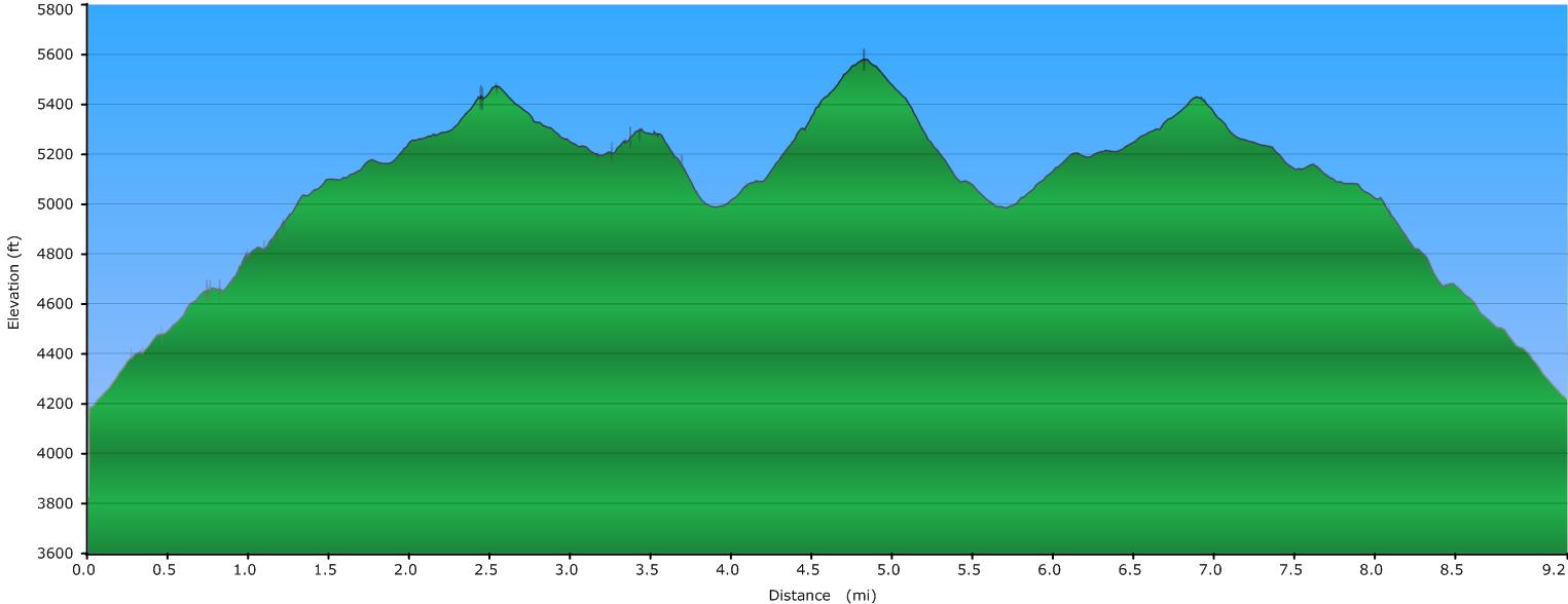
Elevation Profile of the trail
Click for larger image
Click here for a larger map
GPX data for download (zip file which includes both GPX format, as well as GDB format for Garmin users):
Roaring Creek Trailhead to Big Hump.
DIRECTIONS
Your hike starts and ends at the Roaring Creek Trailhead, just south of Yellow Gap into North Carolina. Roaring Creek road turns north off US19-E, 15.5 miles north of Spruce Pine, NC. You pass a small, cinder block church on your left just before reaching the turn for Roaring Creek Road. 19E crosses over a small concrete bridge over Roaring Creek, and your turn is immediately after that.
Follow Roaring Creek Road for 4.8 miles, until you see a small parking area on the left (room for half a dozen cars or so). A locked gate is just beyond this parking area, with the road continuing past the gate. You'll pass thru several small communities along the road; the last portion of the road is gravel.
Yellow Gap and the Appalachian Trail are a 3/4 mile hike from here. You have two options: you can go around the gate and follow the road or you can follow the Overmountain Trail. Both are about the same distance. Trust me, you definitely want to take the Overmountain Trail!! Your superb views begin on this trail.
The beginning of Overmountain Trail is on the opposite side of Roaring Creek road from the parking area, slightly back down the road, and is labeled with a trail sign. It begins as a wide, gated, 4WD road, going moderately uphill, following a tributary of Roaring Creek.
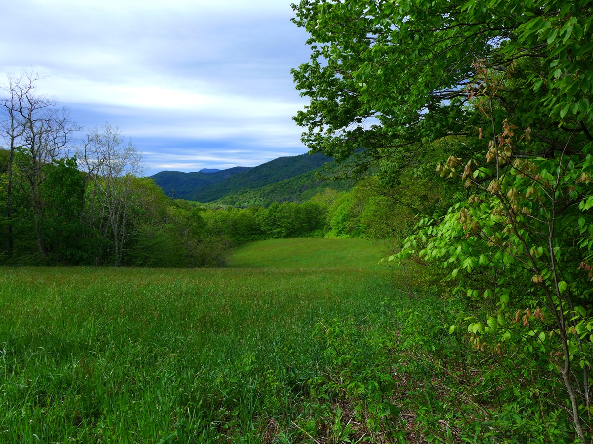
After 0.3 mile, you'll see an open field to your left, and Overmountain Trail will make a 180 degree turn to the left into the field. There is a trail sign at this point.
You'll follow the edge of the field for a short distance, before bearing to the right to cross the field and pick up an old road on the opposite side. The trail is not labeled any more until you reach Yellow Gap, but most times of the year you can see where the trail is from where folks have walked.
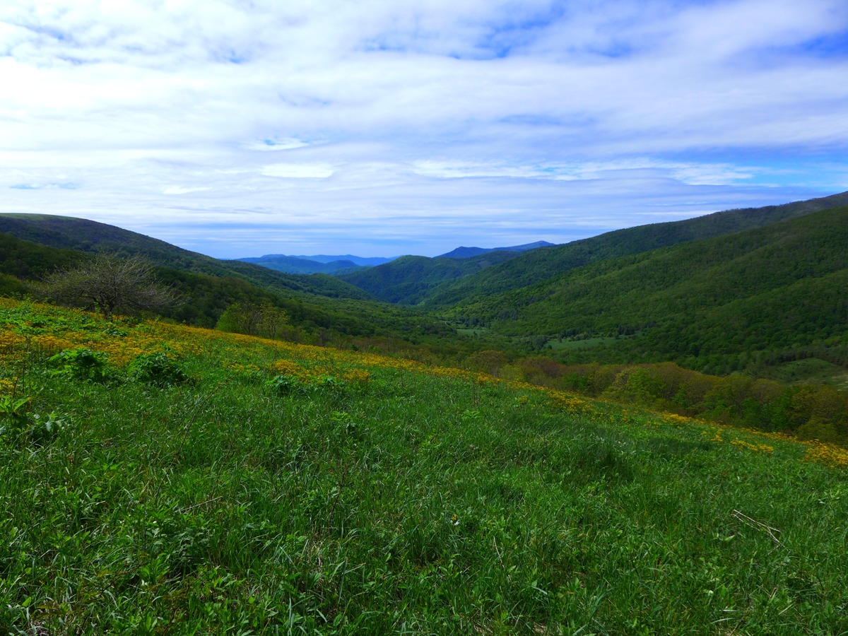
As you cross the field, the first of many wonderful views appear (this is what you miss if you take the road up to Yellow Gap!!)
Views from the Open Field along Overmountain Trail
Shortly past this view, the trail turns north into the woods that border this field, and from here on it is a clear trail to follow to Yellow Gap.
Just before reaching Yellow Gap, you'll once again emerge from the woods and note a Forest Service Road to your left. This takes you to the "Barn" ... an old barn that has been converted into an AT shelter.
Continue north on Overmountain Trail for another few hundred feet, and you will reach Yellow Gap and the junction with the Appalachian Trail.
You will note that Overmountain Trail continues north into Tennessee. Please see my webpage on that section of that trail here.
For this hike, turn right (northbound) onto the Appalachian Trail. You'll be climbing for the next 1.7 miles or so as you head to Little Hump mountain.
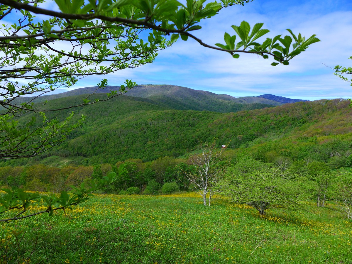
Your next place for superb views comes very soon after you turn onto the AT: you'll be following along open fields to your right, and from many, many places along here, you'll have some great views. It took us almost 40 minutes to hike the first half mile on the AT, not because it was steep or tough, but because we kept stopping to "ooh", "aaah", and take pictures!!
Above and below:
Views from the AT just past Yellow Gap
After half a mile or so, you'll enter the woods. Your next place for wide open views comes as you pass an unlabeled trail that takes you out to Yellow Mountain, 1.3 miles from Yellow Gap. The AT forks left; the trail to Yellow Moutain forks right. We did not go to Yellow Mountain on this trip, but it too has some superb, wide open, long range views.
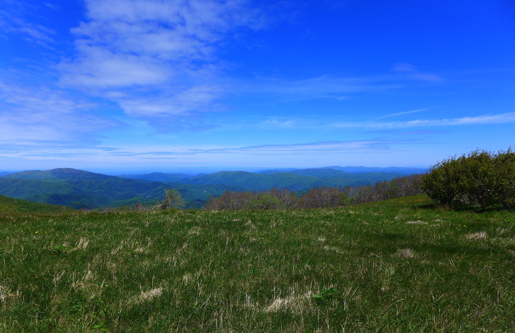
Views from the AT, just before reaching Little Hump
1.6 miles from Yellow Gap, you come to an area with lots of large boulders and rocks on Little Hump Mountain.
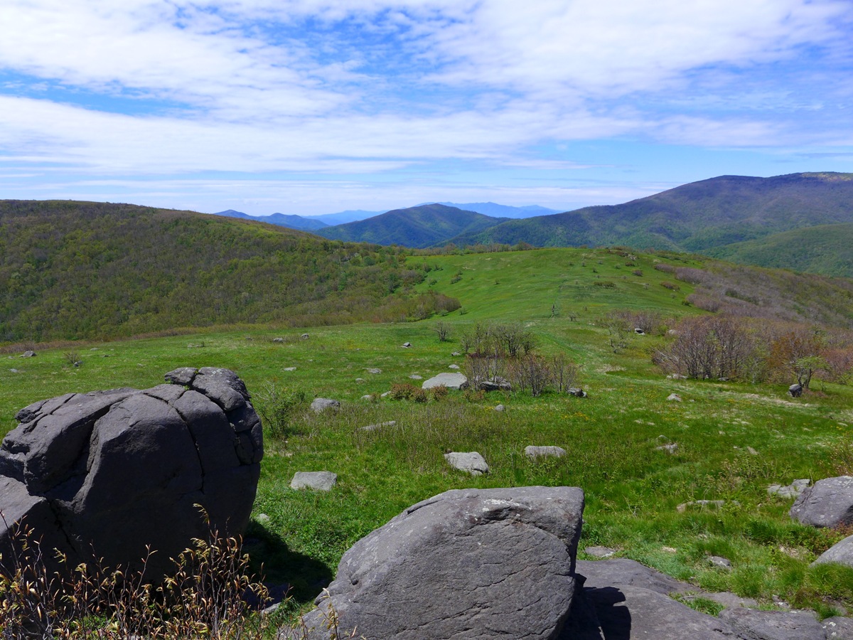
Above: Rocks and Views on Little Hump
Below: Boone Posing on one of the Rocks
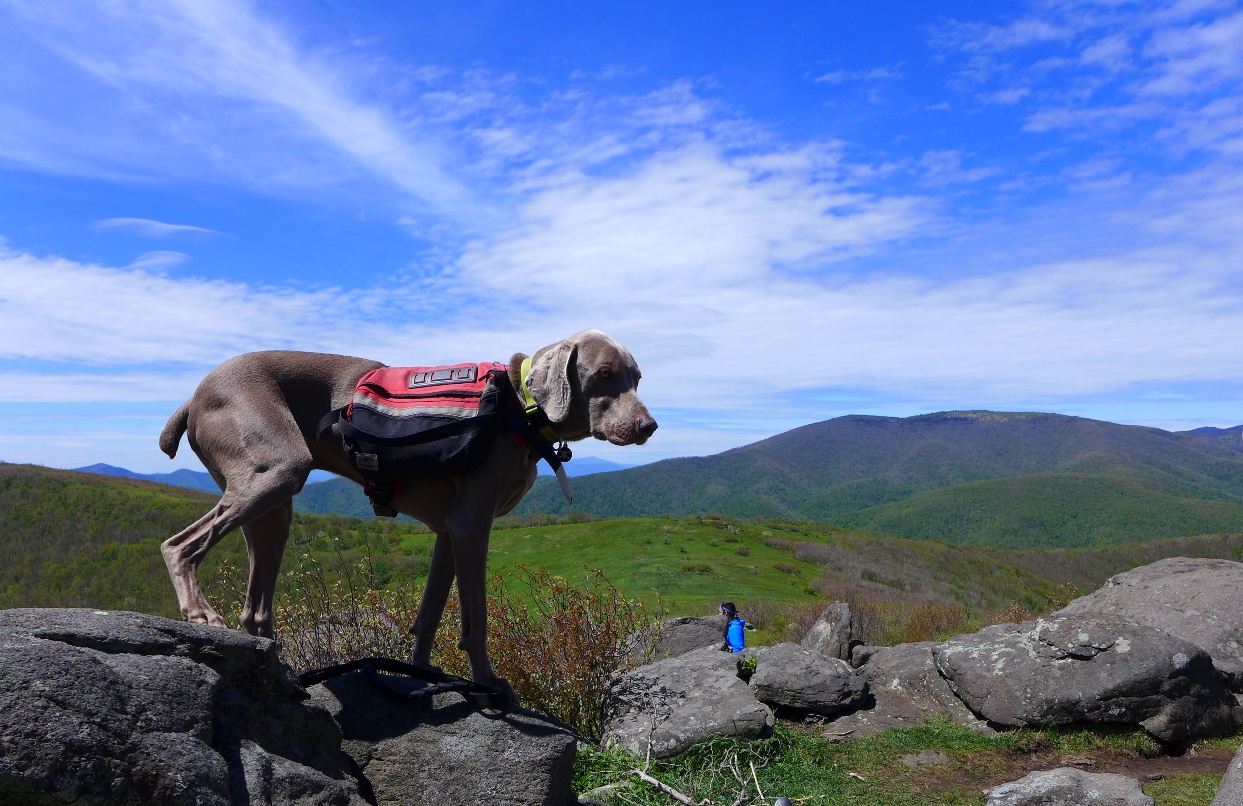
We stopped here and had lunch, and over the hour or so we were here, we saw over a dozen or so hikers and backpackers.
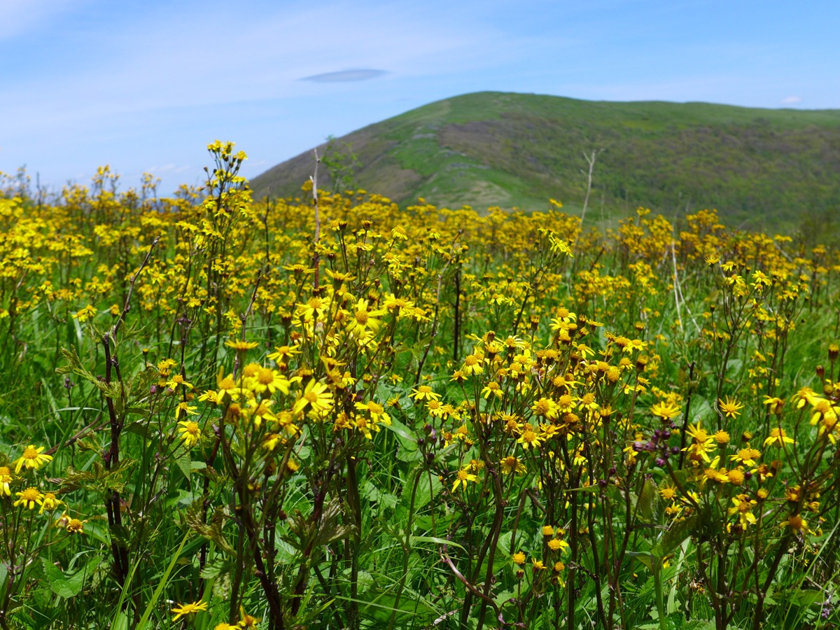
From here, the AT makes a big zig-zag switchback down the southeast face of Little Hump before climbing to an unnamed gap that lies just southwest of another unnamed bald. The AT skirts this bald, staying in the woods that lie to the southeast. My hiking friend has named this "Diamond Bald", and that certainly is better than "unnamed bald". We left the AT to explore this bald, going up its southern face (which is wooded), and coming out at its peak which had views to the north and west into Tennessee. The late May day we were there found this bald covered in yellow wildflowers. The AT and Big Hump were clearly visible from its peak (see the photo at the top of the page), and we headed down the northern slope to once again join up with the AT.
Joining the AT once again at Bradley Gap, which lies between Diamond Bald and Big Hump, had us begin the long climb up to Big Hump. Trust me when I say it's farther than it seems. You keep seeing what you think is the peak, but the more you walk, it doesn't seem that you are getting any closer. And when you DO get up to what you thought was the peak, you find you really are not yet at the top; the trail just winds around another curve and keeps climbing. It's just a shy of one mile from Bradley Gap to the top of Big Hump, and in that mile you climb a little over 500 feet in elevation.
Big Hump, at 5587 feet in elevation, has tremendous 360 degree views all around and is a great place to take another nice break. The bald is covered with grass, and has lots of places to just relax and take in the view!
After a break here, we retraced our steps, staying on the AT back down Big Hump, skirting Diamond Bald, which gave us a stretch of trail that was in the woods (there is also a spring here for a water source ... the only water source besides the one on the south slope of Yellow Gap).
As the elevation profile shows, it is mostly (but not ALL!!) downhill back to the trailhead. Between that feature, plus the fact that we took very few photos on the way back, our return route took us only 2 1/4 hours to get back to the trailhead. Between the uphill route going, all the time spent photographing, and the two breaks we took at Little and Big Hump, it took us almost 6 hours to get TO Big Hump!!
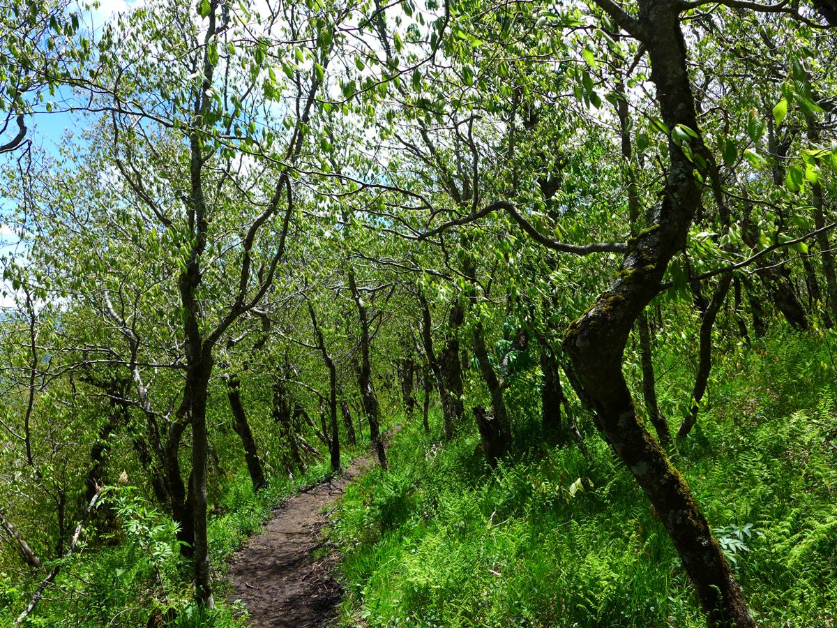
The wooded portion of the AT which lies between Little Hump and Bradley Gap
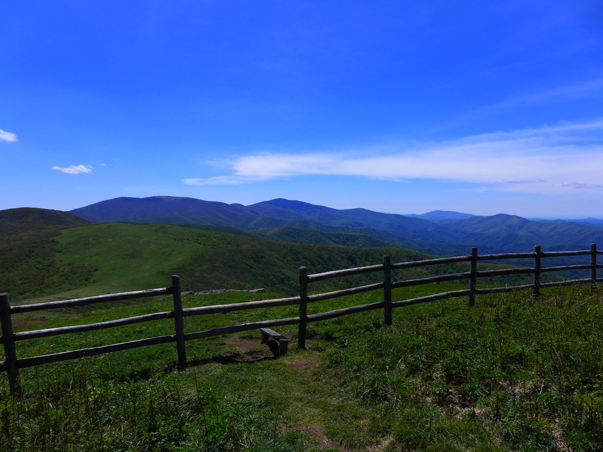
A rail fence which the AT crosses near the top of Big Hump
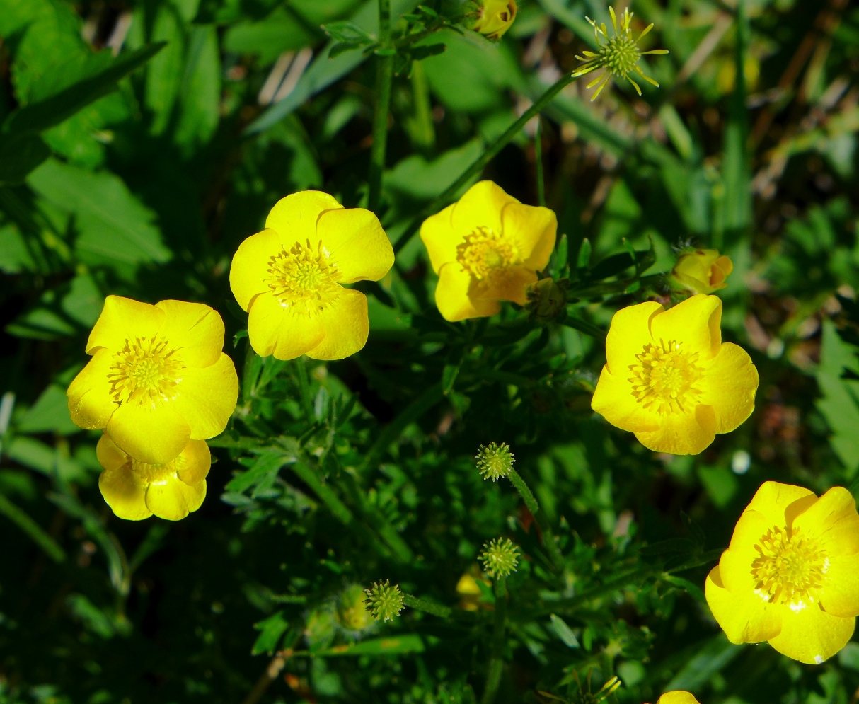
Buttercups seen along the AT
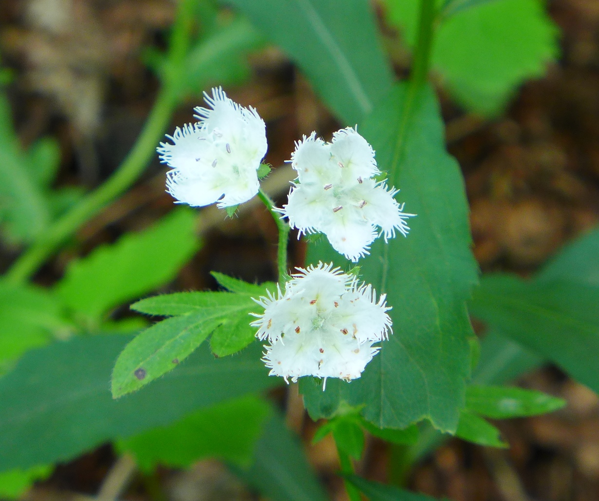
White Fringed Phacelia seen along the AT
More photos in my flicker set for this hike.