Art Loeb Trail
from Davidson River Campground
to
North Slope Connector Trail
Click on any of the images on this page
for full size/full resolution pic.
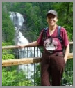
The picture above **IS** of Art Loeb Trail, however it is a bit deceptive!! Looking at that photo, one would think this is a nice level hike. If you know anything about the Art Loeb Trail, you know that it is that it is ANYTHING but level. Below is the elevation profile of this 7.2 mile loop:
Elevation Profile of the trail
Click for larger image
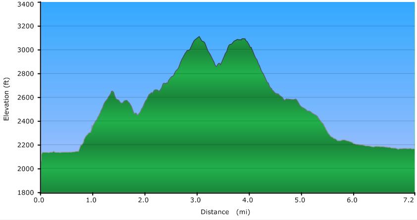
Everything that isn't part of the level sections is the Art Loeb portion of this hike!!
The Art Loeb Trail is a 30+ mile trail that goes from the Davidson River Campground just outside of Brevard, NC to the Daniel Boone Boy Scout Camp in Haywood County. It follows ridgelines along its entire route, meaning the hiker is constantly going up or down.
This loop's hike goes along the first 4 miles of the trail, from its trailhead at the Davidson River Campground, to the North Slope Connector Trail. Most of this section of Art Loeb traverses Shut In ridge, whose northern slope has some incredibly steep drop offs to the creek valley below.
North Slope Connector Trail then connects, as one would expect, to the North Slope Trail, which brings the hiker back down to the Davidson River, looping you back to your beginning point at the trailhead. The first 3/4 mile and the final mile and a half are hiked all along this river -- in times of high water levels, you'll enjoy the areas of turbulence and mini-rapids. In times of low water levels, the river is almost glass-like, providing a clear, reflective, serene scene.
Click here for a larger map
GPX data for download:
Art Loeb from Davidson River Campground to North Slope.
DIRECTIONS
This hike begins and ends at the Art Loeb Trailhead by Davidson River Campground, which is located on US276, 1.25 miles north from the intersection where highways 276, 64, and 280 all meet.
Turn left onto the road that leads to the campground. Immediately after turning onto this road, turn left into the parking area that you see to your left; do not continue straight across the bridge.
The Art Loeb Trail begins at the far end of this parking area, following the river downstream for 3/4 mile or so. The river makes a big bend, and on the other side of the river you can see Sycamore Flats, a popular picnic area. At this point, the Art Loeb Trail turns right and starts heading up the ridge. Estatoe Trail continues straight along the river; this connects with the bicycle/foot path that goes through Brevard, providing a wonderful non-auto route for users to access Pisgah National Forest.
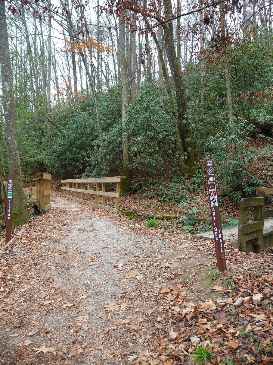
Above, junction of Art Loeb and Estatoe Trail
Below,
Estatoe Trail continues south towards Brevard,
connecting with the hike/bike trail
Once you turn here, the trail begins a stead uphill climb. This section of Art Loeb is completely wooded; at first you climb through rhododendron encased sections; later you enter sections with both hardwood and conifer forests.

First section of Art Loeb Trail, climbing through rhododendrons
This section of the trail is very close to the town of Brevard, and you can hear traffic from the roads below, as well as seeing parts of town and nearby buildings. You pass a couple faint trails going downhill to your left which no doubt join the nearby community along Lamb's Creek Road.
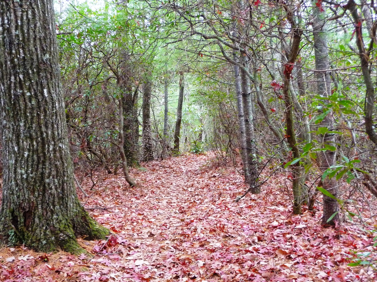
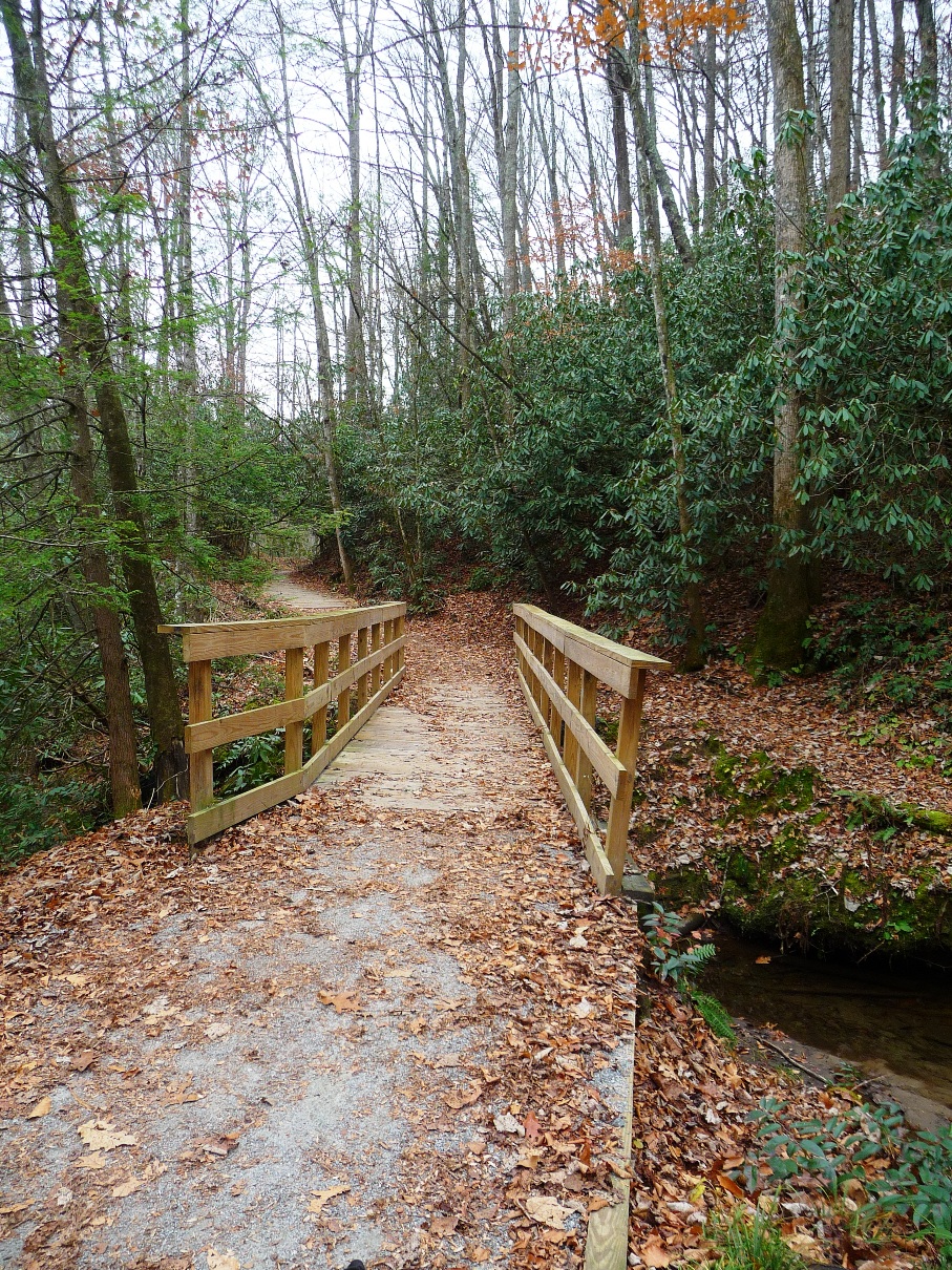
The trail takes you along the Shut-In Ridge, where the picture at the top of this page was taken.
At the 2.4 mile mark, you come to an old jeep road (Joel Branch). I haven't followed this trail at all, but studying the map, it appears it must head down Joel Branch valley, coming out at the Schenck Job Corp Center, which is adjacent to the Davidson River Campground.
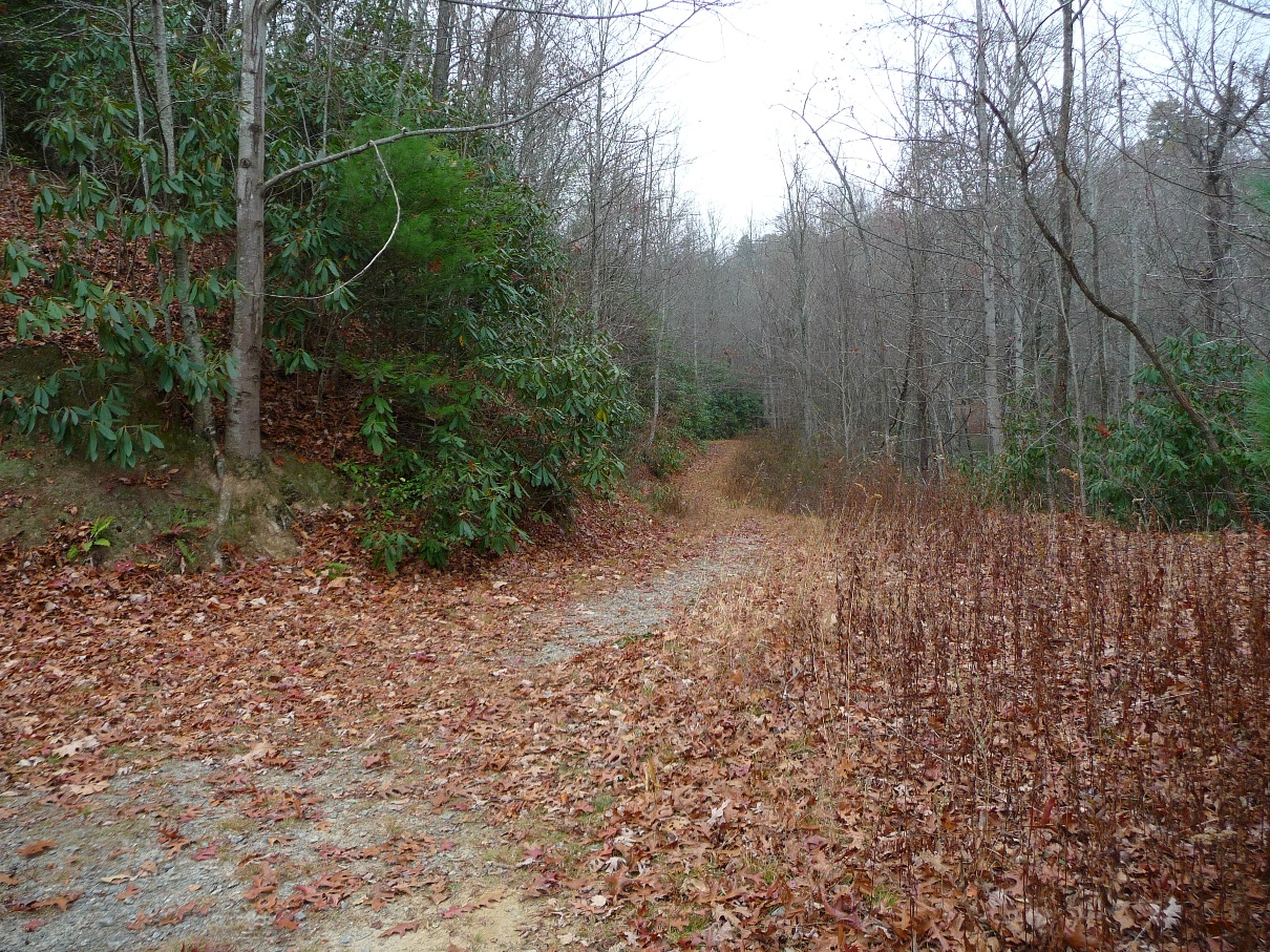
Joel Branch Jeep Road
You turn right onto this jeep road, and almost immediately, turn left off of it, continuing your hike back up to the ridgeline.
At the 3.5 mile mark, you come to Neil Gap, providing a pleasant open area ... a sharp contrast to the areas of steep, steep hillsides that have been on either side of the ridgeline trail.
At the 3.9 mile mark, North Slope Connector Trail comes in from your right. Turn right onto it, and begin a steep descent that brings you down to North Slope Trail. This is a 3.7 mile loop trail that traverses North Slope Ridge, which lies between Joel Branch and the Davidson River.
When you come to North Slope Trail, you can either bear left or right ... both options will bring you out along the trail on Davidson River, but bearing right will lengthen the total hike by another mile or so. The GSP track with this webpage went left at this intersection, which continues your descent to the river. The landscape in this section of the hike is much more open as compared to what you were on along the ridgeline.
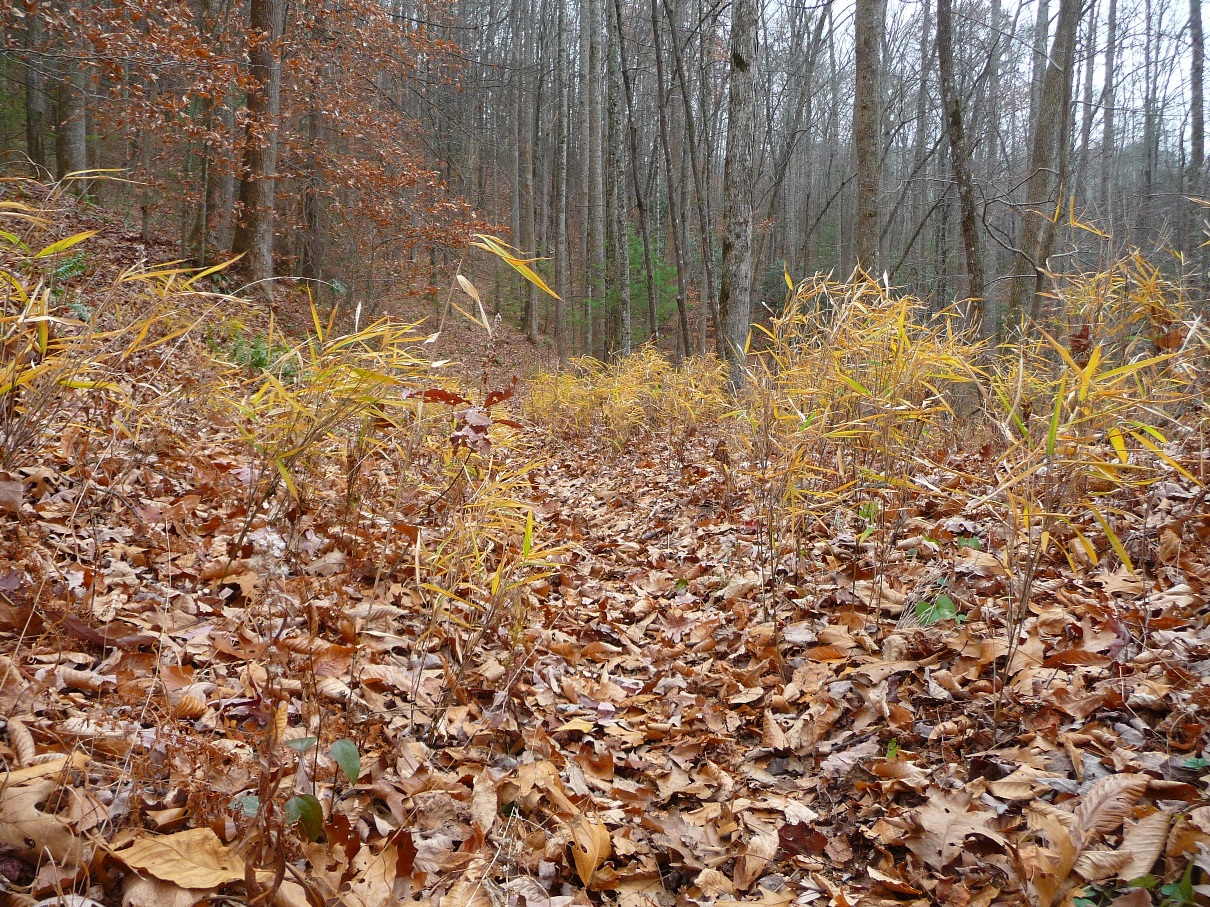
Above, North Slope Trail
Below, Descending to Davidson River

Once you reach the river, the trail makes a right hand turn, and for the remainder of the hike, you will parallel the river, often times coming right down to it. As you follow the trail through this section, you soon come to the western end of the campground, and the picturesque English Chapel.
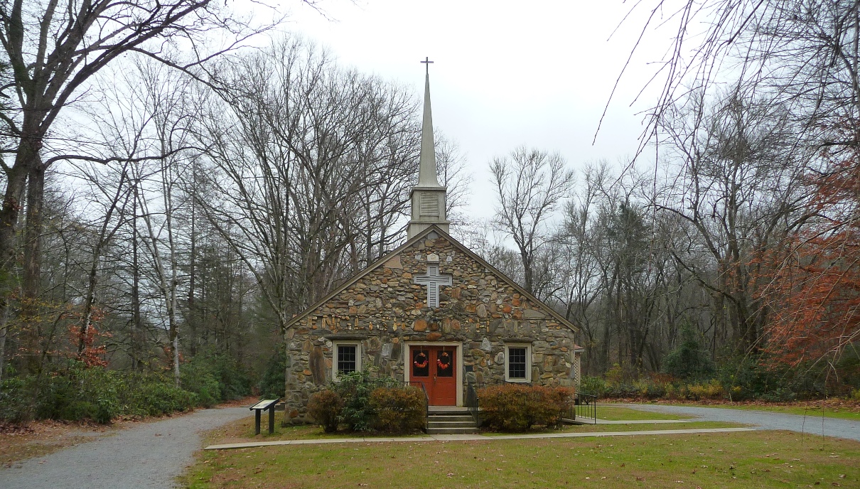
English Chapel, located in the Davidson River Campground
This chapel was founded in 1860 by Rev. A.F. English, an area circuit rider. The picturesque stone building was dedicated in 1940; replacing the original wooden structure. Many of the stones in the chapel's walls are from the adjacent Davidson River.
Continue following the river trail past the chapel. This is a section of trail frequently used by residents of the community and folks staying in the campground. The trail eventually joins the paved road that leads into the campground. Turn left on the road to cross the bridge, and the parking area where you began your hike is on your right.