Bradley Creek
to
Laurel Creek Trail

Click any of the pictures for a full size image
Bradley Creek Trail runs 5.1 miles from Turkey Pen trailhead to Yellow Gap road. This trip report covers the first 3.4 miles of this trail, finishing with a nice loop trail by picking up Laurel Creek Trail to Mullinax Trail to South Mills River Trail.
For a trip report of the northern 1.7 miles of Bradley Creek, see the Bradley Creek to Yellow Gap page.
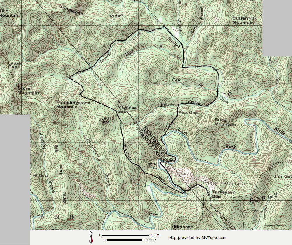
Click on topo to view full size
Begin this hike by driving to the Turkey Pen Trailhead. The access to this is via a 1.2 mile one lane unpaved (and very rough) road that runs north from highway 280 east of Brevard. The turn off of 280 is right at the county line, and runs between two houses.
Once at the trailhead, take the trail that goes to the left of the signboard at the end of the parking area. Follow it 0.4 mile downhill till you reach the river. A swinging bridge will be to your left. Pick up Bradley Creek trail by going straight (don't cross on the bridge).
In another 0.4 mile, you will ford the first of many river crossings to come! (If you don't want to get wet feet, don't hike any portion of Bradley Creek Trail! See the trip report of the northern section of this trail that has over a dozen creek crossings in less than 2 miles!!)

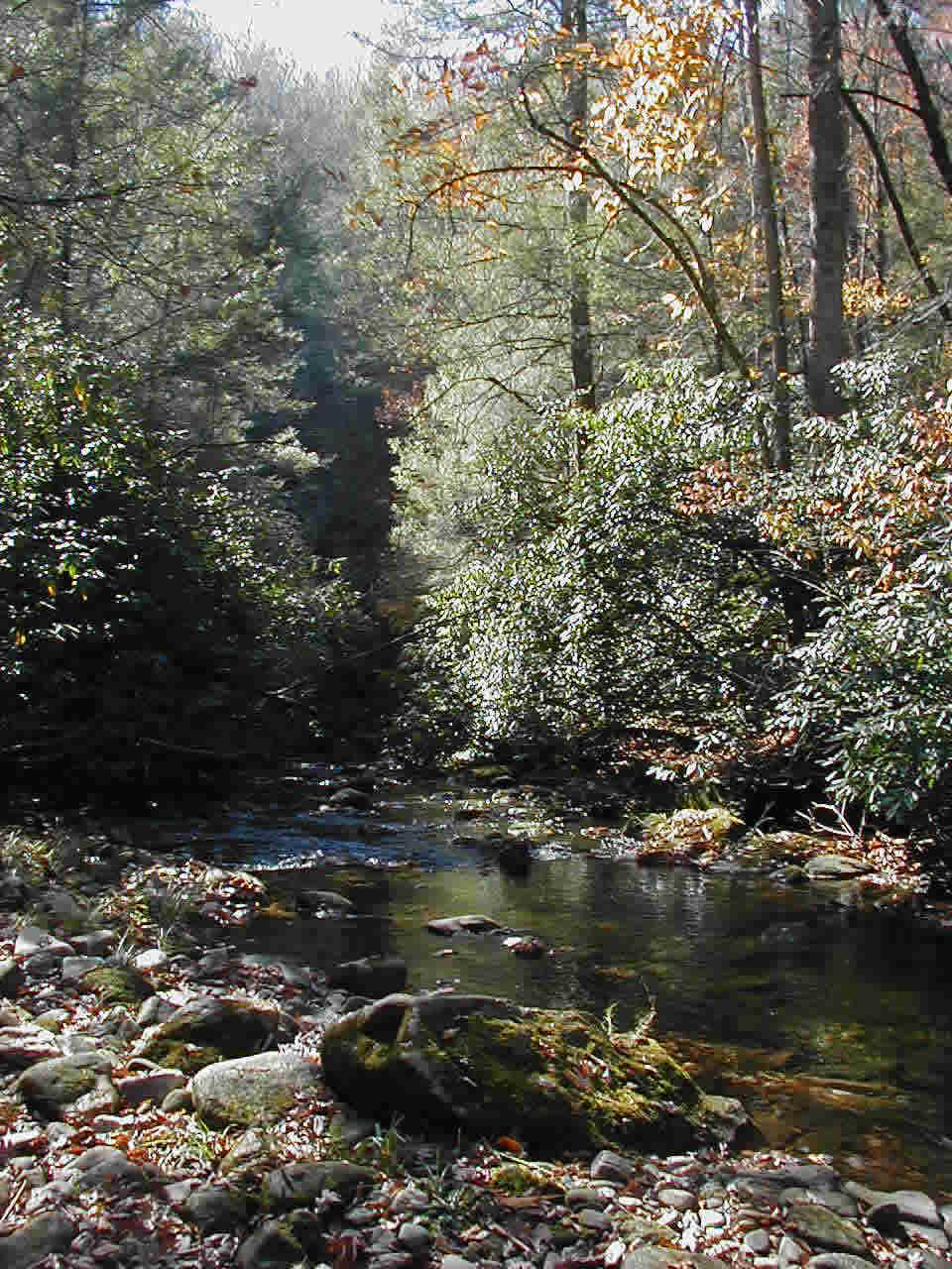
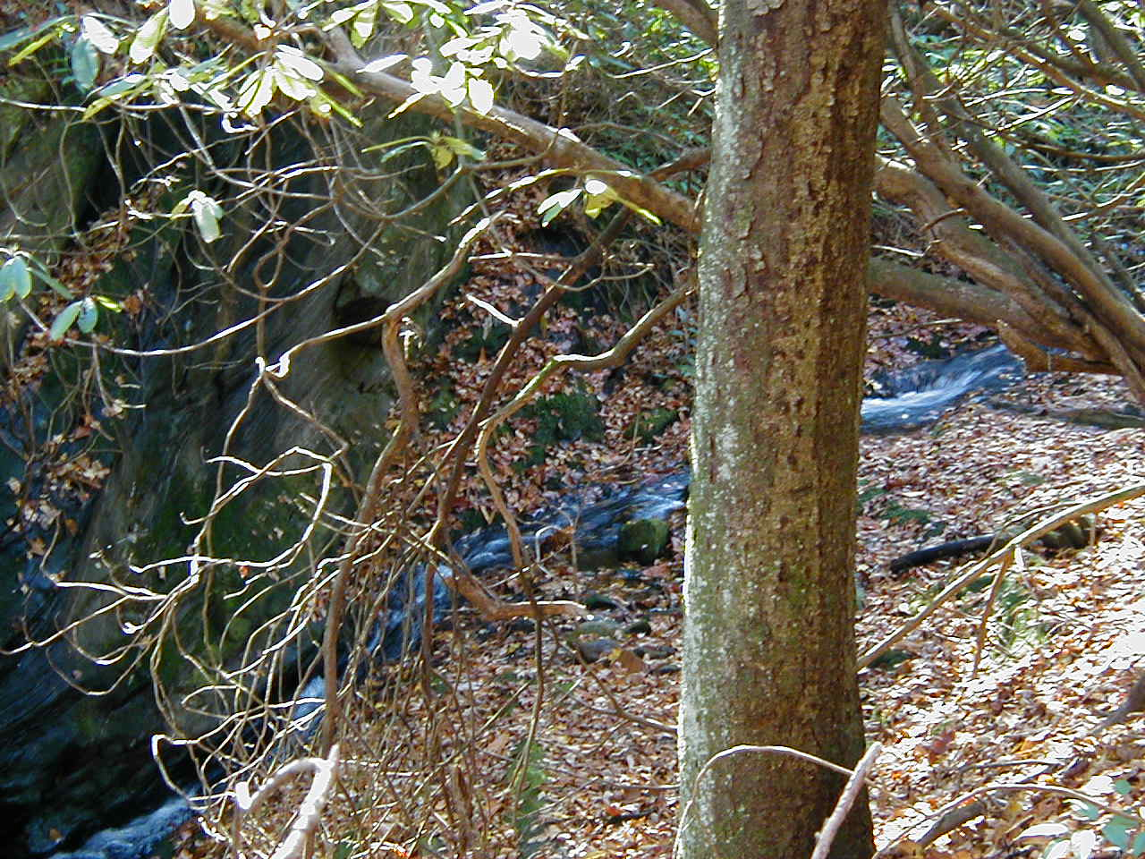
South Mills River
With this initial soaking of your feet, you then are treated to a pleasant stretch of trail that continues to follow the river downstream.
In less than half a mile after the river crossing, Bradley Creek Trail turns left (north) away from the river and climbs a gentle 250 feet in elevation to Pea Gap, then descends on the other side of the ridge to cross the tiny (feet get to stay dry here) Pea Branch Creek.
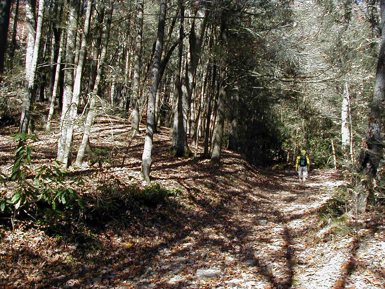
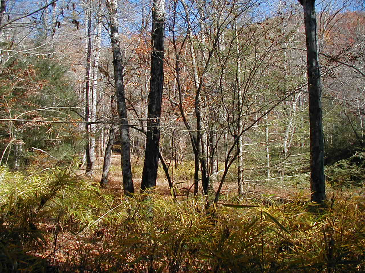
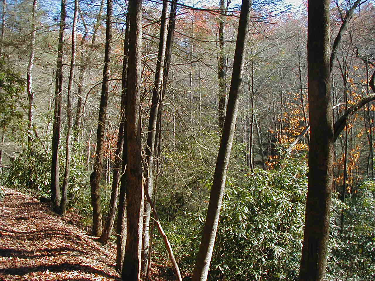
From here, the trail follows Bradley Creek, frequently crossing back and forth across the creek. The trail is flat, and in many places, wide open terrain is around you.
 |
 |
The creek crossings continue through this portion of the trail, complete with soaked feet. The scenery is more than worth it!
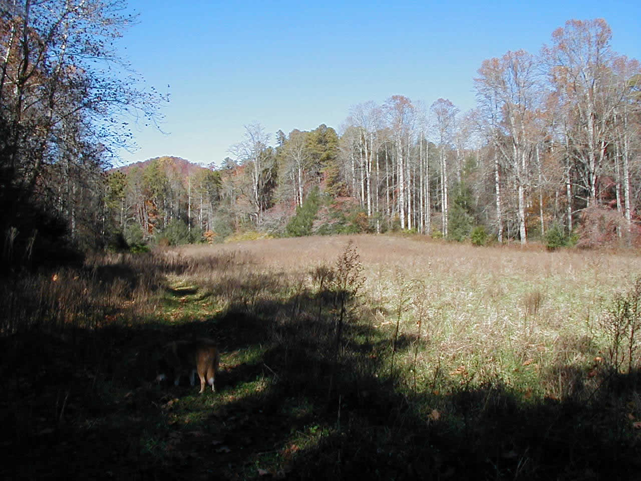
At the point where Bradley Creek Trail and Laurel Creek Trail join, there is a large open area.
Several hundred feet north from the Laurel Creek junction, Bradley Creek Trail continues north to Yellow Gap Road. See my Bradley Creek/Yellow Gap trail report for that section.
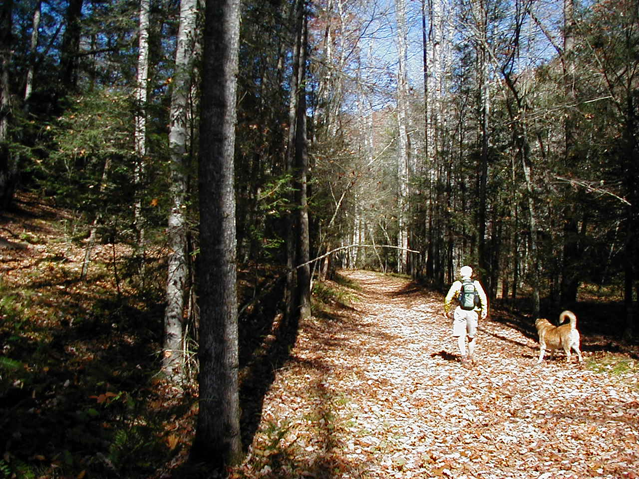
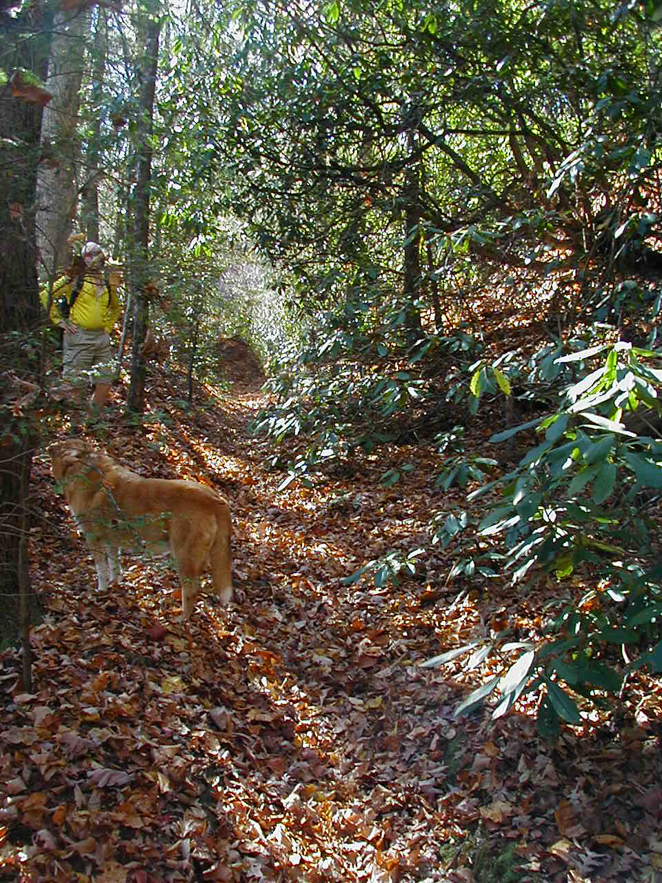
On this day's hike, I turned left (west) onto Laurel Creek Trail. The terrain I had been on up until now changed dramatically from a wide river, with an almost flat trail terrain, and a lot of open areas around the trail to a narrow trail that immediately started climbing, all the while following along Laurel Creek (and, oh yea, TWO creek crossings right off the bat at the confluence of Laurel and Bradley creeks!!! More wet feet!)
Laurel Creek has several areas of small rapids and sluices down smooth rock faces
 |
 |
Laurel Creek Trail heads southwest, following Laurel Creek upstream, gaining approximately 400 feet in elevation in a slow, steady climb. The scenery is tremendous, and you are treated to the sounds of Laurel Creek's rapids the entire way.
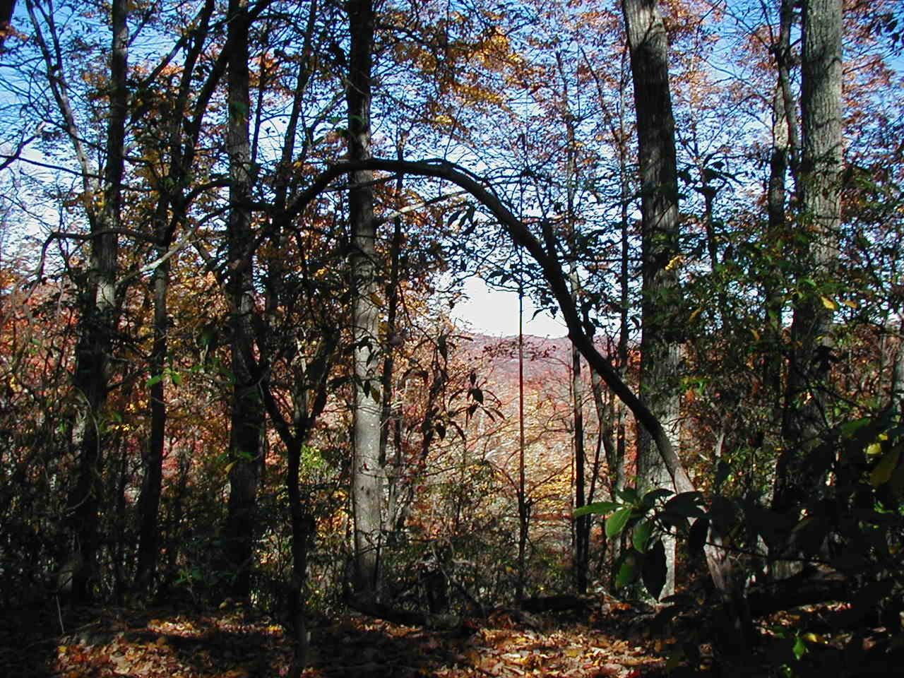
After a mile to a mile and a half, the trail then crosses Laurel Creek, and heads south and west, climbing another 300 feet, coming out near the top of Poundingstone Mountain, and a delightful ridge which gives great views to the mountain ridges to the north.
 |
 |
Descending slightly, you join Squirrel Gap Trail at Mullinax Gap.
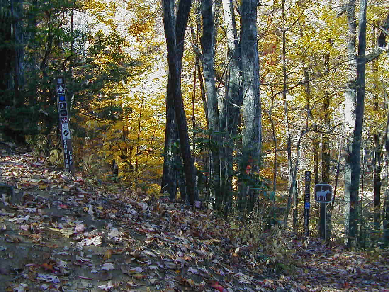
At this point, Squirrel Gap Trail and Mullinax Trail are combined, with Squirrel Gap Trail officially ending at the turn off to Pea Gap Trail. Mullinax Trail continues its downward and southward trek, eventually ending up at South Mills River Trail.
By the way, the various maps I have, show Mullinax Trail to be a fairly straight trail, but in actuality, the trail zig-zags quite a bit. And since the blazing and trail signs are almost non-existent once you pass the initial Squirrel Gap Trail juncture, more than once it made me wonder if I had gotten onto another trail by mistake.
But, once you do get to South Mills River Trail, turn left, and in a very short distance, you cross a swinging bridge ... the one you passed at the very beginning of the hike. Bradley Creek Trail's beginning is to your left; head right and go another 0.4 mile to the parking area.
My apologies for the poor quality of the pictures on this page. Unbeknownst to me, my camera setting was on a lower quality image. Just an excuse to go do this loop again to get better pics!!