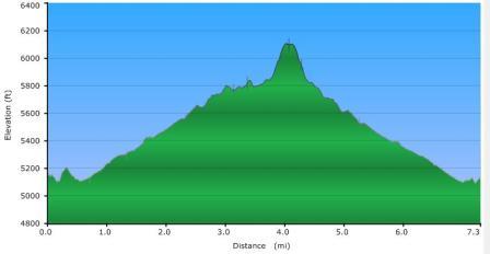
This is a relatively easy, out and back, 7 mile hike that offers a wide variety of scenery and visual interest. One gets to hike through wide open fields, along edges of hillsides with wide, deep valleys off to your side, and through unique high mountain bog areas that are lush with spongy moss underfoot. You'll see a wide variety of trees from birch to spruce to mountain ash.
Views include long range views of Mount Hardy, Sam’s Knob, and Green Knob, as well as a waterfall that flows off the eastern surface of Mount Hardy.
I've called this hike "relatively" easy. There is 1,000 foot elevation gain, however you take over 3 miles to gain 700 of those feet. There is a short steep push up Mount Hardy itself, but, perhaps because it is so short, even that part did not seem particularly difficult.
The only hard part (and this is significant if you are not accustomed to route finding) is that this entire hike is in Middle Prong Wilderness Area, meaning no trails are blazed or marked. I have made several trips in this area, and each time have found myself wandering around looking for a given trail, losing a trail I thought I was on, and otherwise working on way finding.
Even with a GPS on my most recent trip, I still hiked right past the turn off to Mount Hardy, not realizing it until I saw that I was west of Green Knob Ridge.
The Mountains To Sea Trail is pretty clear for the entire way to the Mount Hardy turn off, but there were still a few tricky spots, and I unknowingly left the trail several times.
GPX data for download:
Mountains To Sea Trail to the Top of Mount Hardy.
DIRECTIONS
To begin the hike, park in the pull off on the west side of highway 215, 0.45 mile north of the Blue Ridge Parkway. There is room here for a half dozen or more cars.
There is a trail that heads into the greenery right from this lot, but do not take this trail. Get back onto the highway, and walk about 200 feet further north (downhill) on the highway, and look for the Mountains To Sea (MTS) trail marker on the left. Turn onto the trail here.
You immediately cross Bubbling Spring Branch (easy to rock hop in lower water levels ... if the water level is too high, just go back to the highway, cross the creek on the highway, and then head uphill and pick up MTS trail which parallels the road for about 1,000 feet).
This is where I made my first wrong turn of the day ... after crossing Bubbling Spring Branch, be sure to bear right, paralleling the road. I headed straight along what I thought was a trail, but just led to some camping sites.
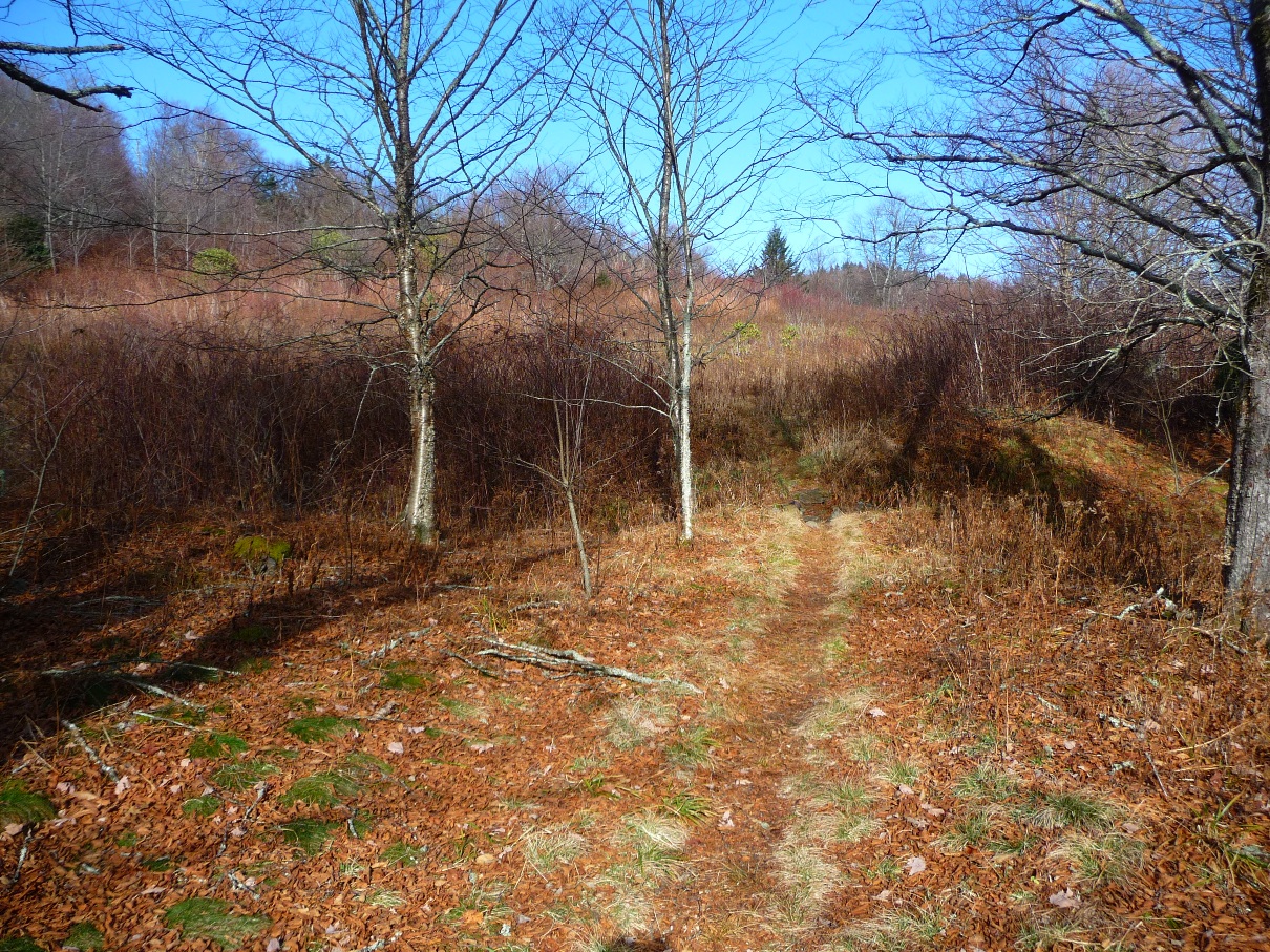
The first portion of the hike has you walking through wide, relatively flat, open areas:
Mountains to Sea Trail just west of highway 215
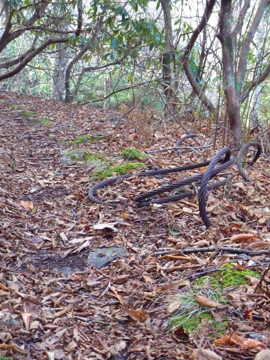
You also see evidence of some of this area's past history of logging ... old semi-buried cables.
Old metal cables, still visible along the trail
Other places along the trail you will spot old sections of rail.
From this section of trail, you get some great views of Sam's Knob and surrounding area:
View of Sam's Knob and Surrounding Area
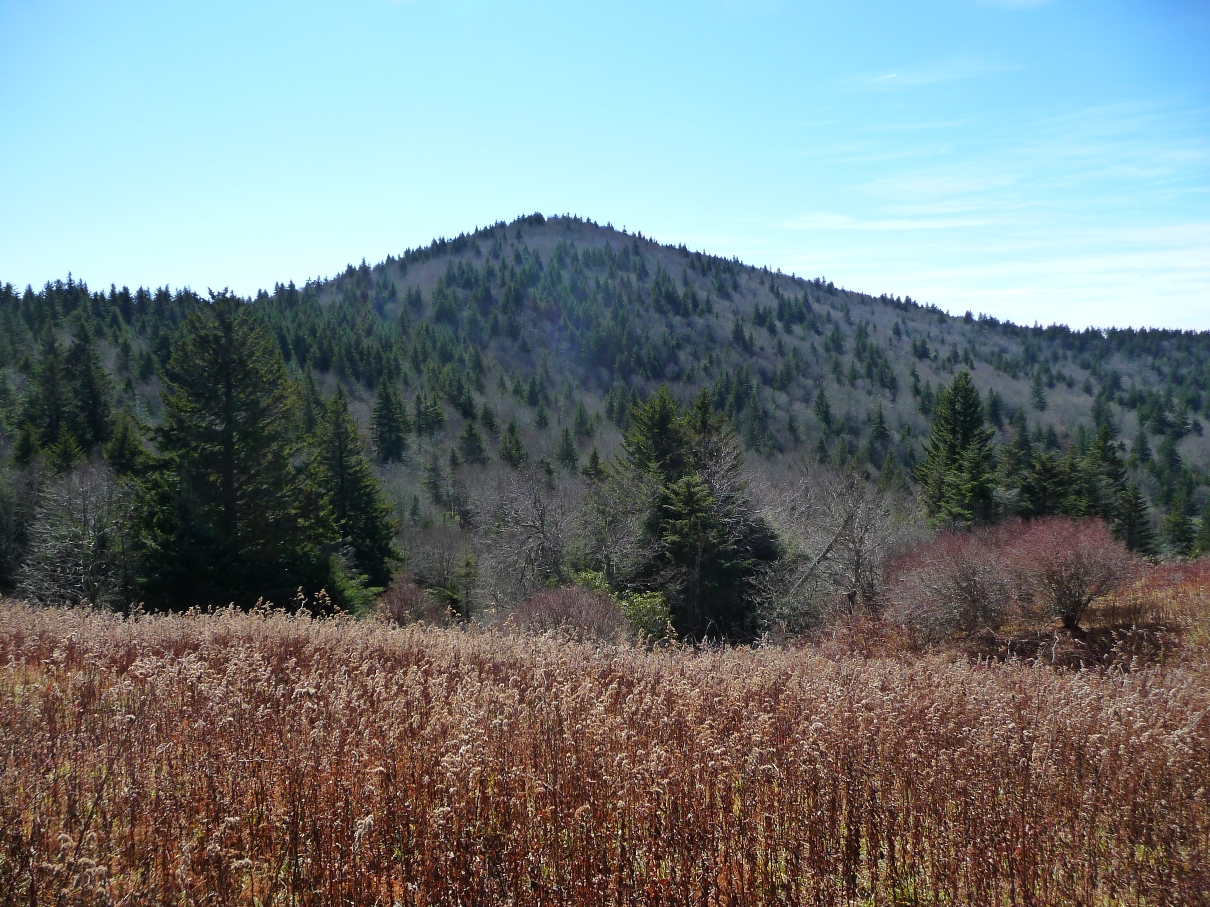
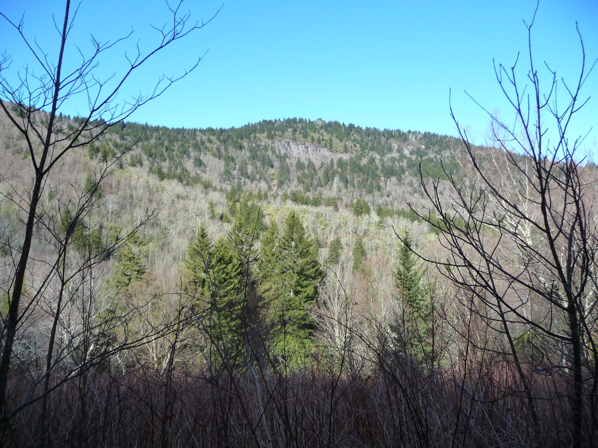
As the trail curves around and starts heading south, you get some of your first great views of the day ... the long north-south running ridge of Fork Ridge, of which Green Knob is the highest point. See my Green Knob Trail page for a description of coming up to this knob from the north.
View of the long Fork Ridge ridgeline
These pictures really don't do the scene justice ... the ridge is really expansive, with large imposing areas of sheer, steep granite cliffs. You can see them in the full size image (click the above photo), but the photo totally loses the sense of massiveness that is there in person.
The panorama below (click for full size) gives a little better image, but still not what one really sees.
Panorama of Fork Ridge
From here, the trail winds slowly uphill, eventually joining a tributary of Bubbling Spring Branch. The trail continues climbing, making several switchbacks. Soon after a sharp right hand switch back, the landscape to your right opens up, giving you a wonderful, long range view of a tall waterfall.
Above, waterfall as seen from the trail
Below, a zoomed in shot of this same waterfall
(best seen in full size image)
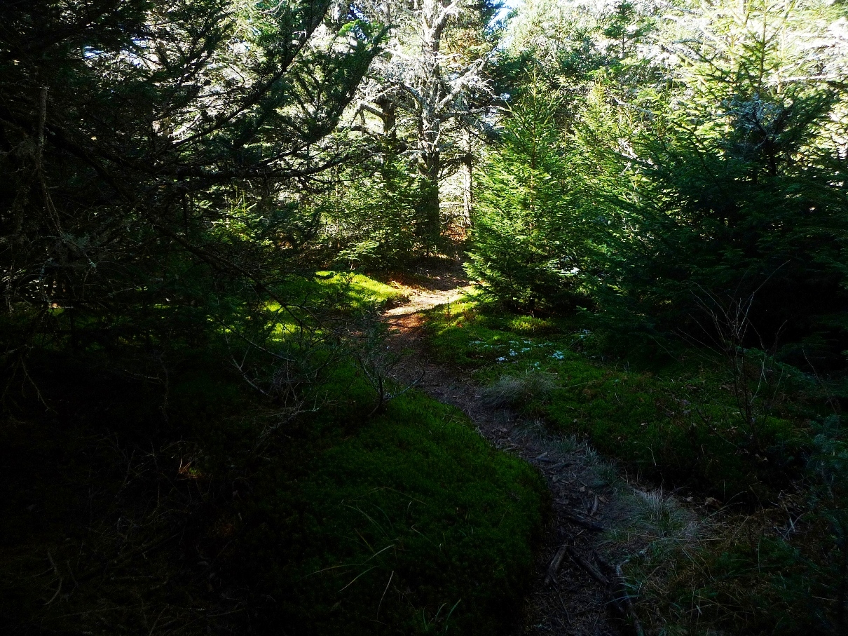
As the trail again heads north, in another 3/4 mile, you find yourself in a fairly flat area, which, if you look at the map, shows that you are on the easternmost edge of a "shelf" ... and in fact, above the waterfall seen earlier.
The website www.hikewnc.info gives an excellent description of the geology here:
At the top of this is [the] plateau above the falls, a high bench on the East flank of Mount Hardy...Notice that the land around you is flatter than it has been so far during the hike. Not only does this area give the stream a chance to grow before heading over the falls, but the poorly drained soils underlain with solid bedrock supports an interesting environment - the high elevation peat bog. Water cannot sink into the ground due to the bedrock, and the land is flat enough for it to collect and spongy, boggy areas result. Rare plants find their homes here and nowhere else.
At this point, the vegetation becomes moist, boggy, lush and green.
Along the Mountains to Sea Trail near the base of Mount Hardy
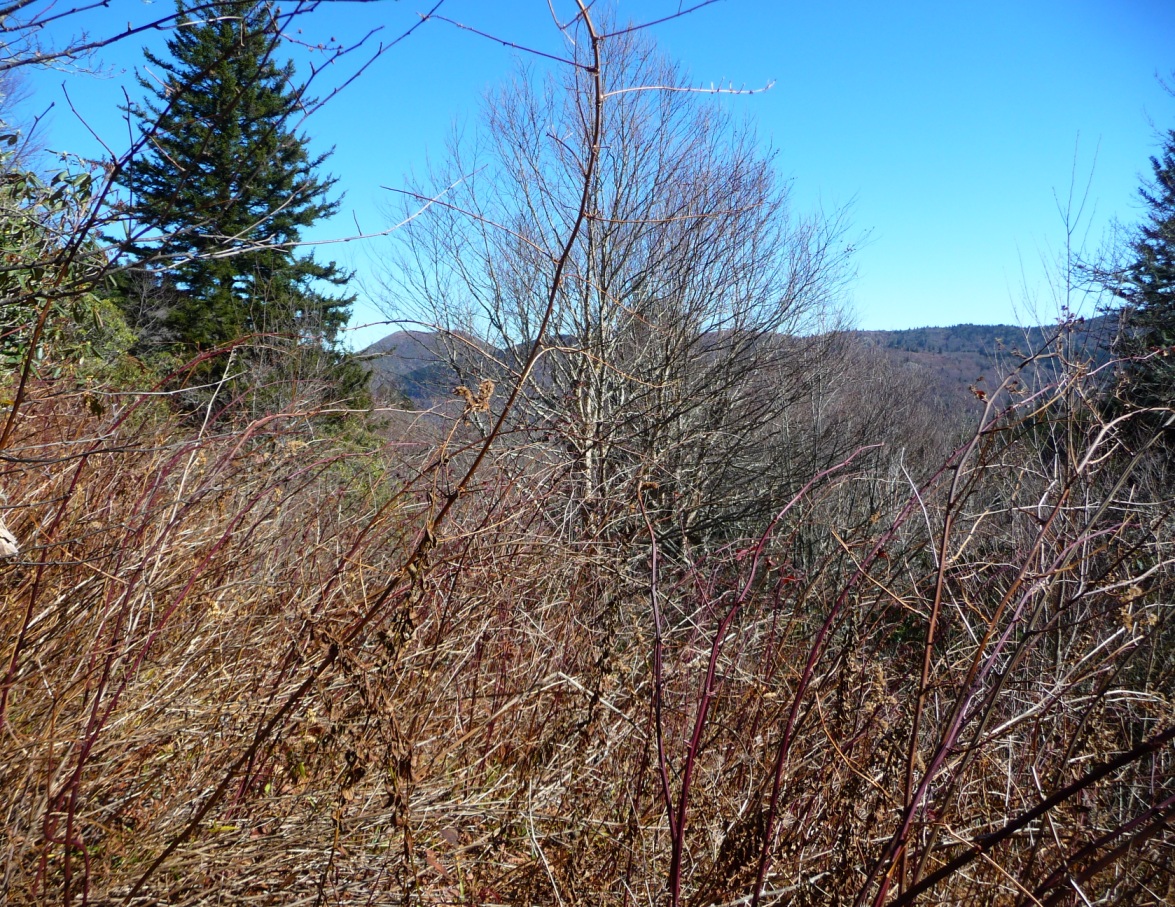
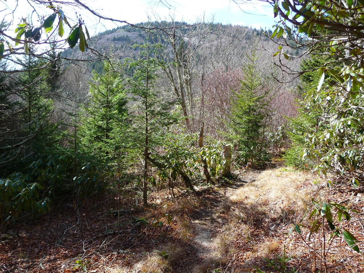
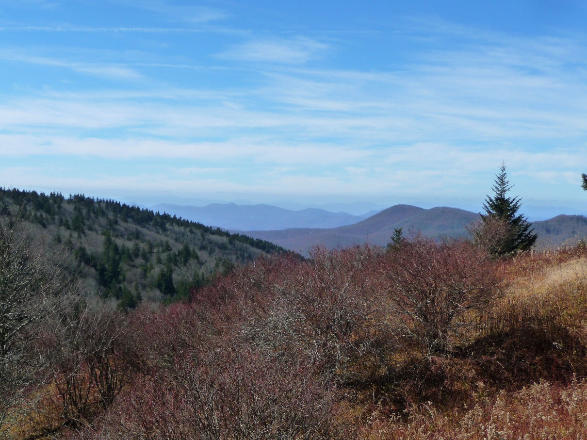
The trail continues its gentle climb, at times giving you a great view of Mount Hardy to your left.
A View of Mount Hardy seen from MTS Trail
The turn off for either or both Green Knob Trail (which goes north along the Fork Ridge ridgeline) and for the trail to the top of Mount Hardy "should" be relatively easy to locate, at least looking at a map. Should being the operative word ... each time I have hiked in this area, I have spent a good deal of time trying to find this one intersection!
Even on this most recent hike, when I had a GPS, I still went right past the turn off. The clearest clue will be if you find the trail starting to go steadily downhill, you have just passed the turnoff. Since the trailhead on 215, you have been steadily going uphill; the turn off for both Green Knob Trail and Mount Hardy occurs at the "saddle" where MTS trail stops going steadily uphill and begins a sharp and noticeable steady descent.
The location of the Green Knob Ridge (Fork Ridge) is a good visual clue as to where you are in terms of getting near this turn off. That is what alerted me that I had gone past the intersection, when I saw that this ridge was now behind me.
When you come to this “saddle” on MTS trail, you’ll see two unmarked trails, the first one to the left (that goes up to Mount Hardy), and another one 150 feet or so further, to the right, which is Green Knob Trail.
I also noticed another trail to the left a short distance past the Green Knob Trail. I assume this probably also goes up Mount Hardy, but I did not follow it.
In reading about the area, two sources both mentioned a delightful meadow, a short distance up Green Knob Trail. I decided to head up there for lunch, and then head on to Mount Hardy.
Above and below:
Views from the Meadow that is just off Green Knob Trail
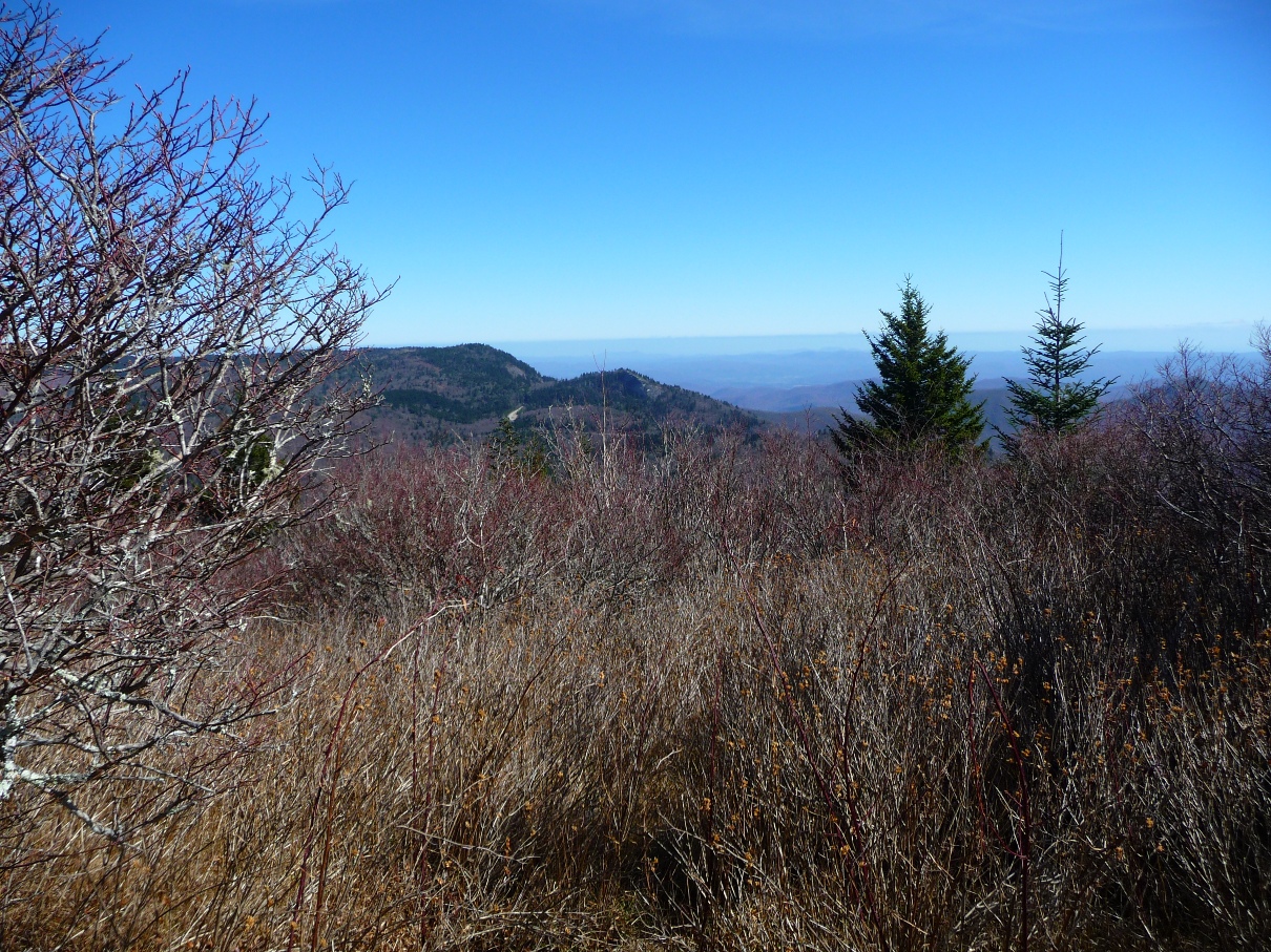
As you can see, you get some tremendous views to the west and south from this meadow, which is located on the western slope of the ridge, about 400 feet up Green Knob Trail, and about 400 feet off the trail. You also get a full view of Mount Hardy to your south.
View of Mount Hardy as seen from the Meadow
Whenever you leave the trail in the wilderness area, make sure you note landmarks to get you back to the trail!
After lunch in the meadow, I headed back down to MTS trail, and picked up the trail to Mount Hardy.
Like MTS trail, this trail is fairly easy to follow, with just one or two tricky spots.
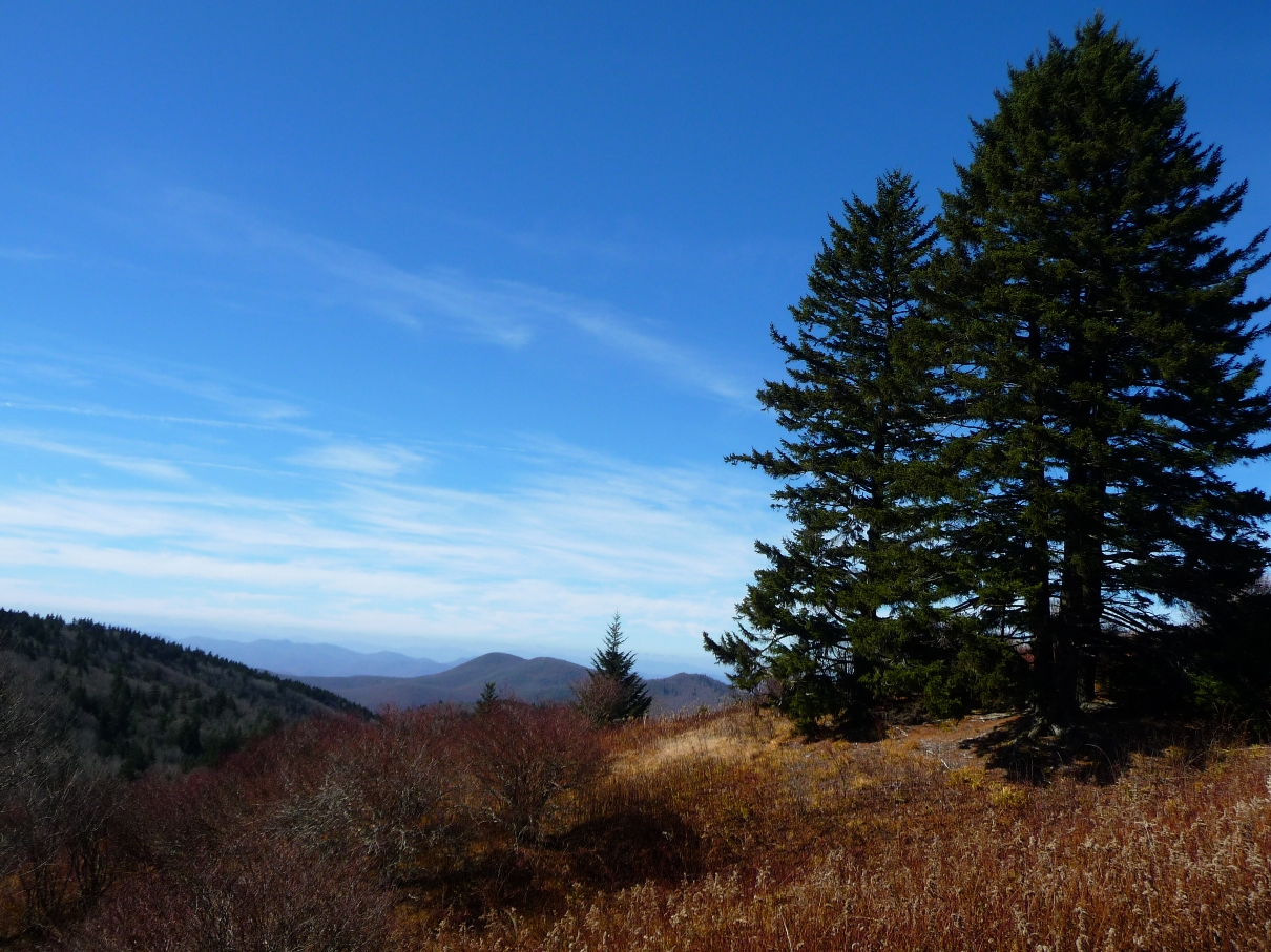
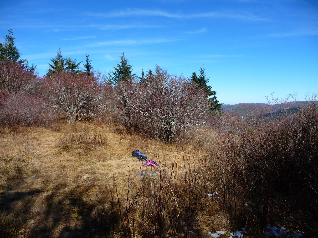
In one half mile you reach the summit, which has a small clearing with views to the east:
Above and below: View from the top of Mount Hardy
For your return to the trailhead, you have two options: you can retrace your steps, following MTS trail back.
Alternatively, if you do not mind some road walking, there is a trail that heads down the southeast face of Mount Hardy and comes out on to the Blue Ridge Parkway. I have not hiked this trail, but I did see a clear turn off to it about 0.2 mile down from the summit (see Waypoint on the map, above). According to a map and trail description on Carolina Mountain Club’s webpage, the trail comes out on the BRP at Mount Hardy Gap. Turn left onto the Parkway, and you have just under a mile to walk to pick up highway 215, and then 0.45 mile down 215 to the trailhead.
UPDATE as of 11/14/11 - A local reader followed this path down to the Parkway and found it to be quite overgrown. He emailed me with this info:
The trail started out OK but soon had lots more overgrowth than the other area trails. It was reasonably OK to follow for a while, but then these factors began making it hard to follow:
- There are numerous water runoff paths that create random tracks through the terrain
- Fallen hardwood leaves obscure a lot in some sections
- Nobody clears out the deadfall and overgrowth
Based on studying the CMC map of this trail I knew the general direction it took. But it soon became a matter of intuition and creative navigation.
At one point the apparent "trail" became extremely overgrown and choked with vegetation, so I steered downhill and used a natural drainage path that took me downhill, cutting the contour lines, without the heavy vegetation.
A few minutes later I could see the Parkway. I trended due south through lots of saplings (but no thickets) and soon hit the Parkway.
⋄⋄⋄⋄⋄⋄⋄⋄⋄
Two websites provided some excellent background information for me on this hike:
The above mentioned www.hikewnc.info has an excellent trail description and explanation of the geology and plant life of the area.
The webpage www.northcarolinawaterfalls.info has a wonderful photo of the falls shot during autumn’s full color, as well as a description of how to bushwhack to the base of the falls.